


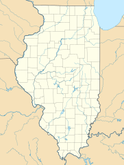
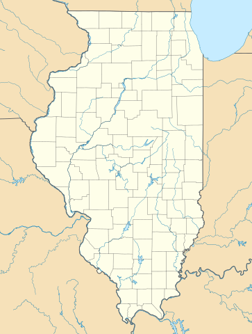
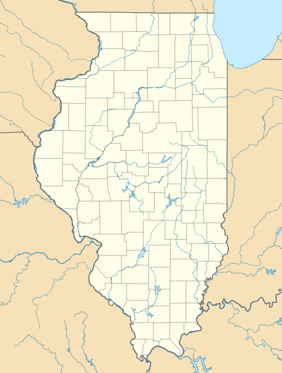
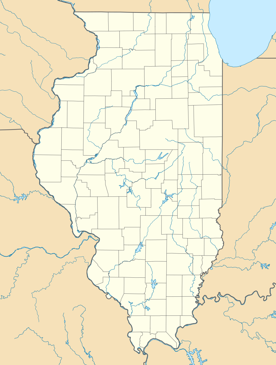
Size of this PNG preview of this SVG file: 453 × 599 pixels. Other resolutions: 181 × 240 pixels | 363 × 480 pixels | 580 × 768 pixels | 774 × 1,024 pixels | 1,548 × 2,048 pixels | 945 × 1,250 pixels.
Original file (SVG file, nominally 945 × 1,250 pixels, file size: 780 KB)
Summary
| Description |
Quadratische Plattkarte, N-S-Streckung 130.0 %. Geographische Begrenzung der Karte:
Equirectangular projection, N/S stretching 130.0 %. Geographic limits of the map:
|
| Date | |
| Source | Own work |
| Author | Alexrk2 |
| Other versions |
Derivative works of this file: Derivative works of this file: |

|
This map has been made or improved in the German Kartenwerkstatt (Map Lab). You can propose maps to improve as well.
|
Licensing
I, the copyright holder of this work, hereby publish it under the following licenses:

|
Permission is granted to copy, distribute and/or modify this document under the terms of the GNU Free Documentation License, Version 1.2 or any later version published by the Free Software Foundation; with no Invariant Sections, no Front-Cover Texts, and no Back-Cover Texts. A copy of the license is included in the section entitled GNU Free Documentation License. |
This file is licensed under the Creative Commons Attribution 3.0 Unported license.
- You are free:
- to share – to copy, distribute and transmit the work
- to remix – to adapt the work
- Under the following conditions:
- attribution – You must give appropriate credit, provide a link to the license, and indicate if changes were made. You may do so in any reasonable manner, but not in any way that suggests the licensor endorses you or your use.
You may select the license of your choice.
File history
Click on a date/time to view the file as it appeared at that time.
| Date/Time | Thumbnail | Dimensions | User | Comment | |
|---|---|---|---|---|---|
| current | 16:59, 10 July 2009 | | 945 × 1,250 (780 KB) | Alexrk2 | == Beschreibung == {{Information |Description= {{de|Positionskarte von Illinois, USA}} Quadratische Plattkarte, N-S-Streckung 130.0 %. Geographische Begrenzung der Karte: * N: 42.7° N * S: 36.8° N * W: 92.2° W * O: 86.4° W |
File usage
More than 100 pages use this file. The following list shows the first 100 pages that use this file only. A full list is available.
- Abingdon, Illinois
- Addieville, Illinois
- Addison, Illinois
- Adeline, Illinois
- Albion, Illinois
- Algonquin, Illinois
- Alhambra, Illinois
- Allendale, Illinois
- Allerton, Illinois
- Alsip, Illinois
- Altamont, Illinois
- Andover, Illinois
- Anna, Illinois
- Aon Center (Chicago)
- Arlington, Illinois
- Ashland, Illinois
- Ashley, Illinois
- Athens, Illinois
- Atkinson, Illinois
- Atlanta, Illinois
- Auburn, Illinois
- Augusta, Illinois
- Baldwin, Illinois
- Barrington, Illinois
- Bedford Park, Illinois
- Belgium, Illinois
- Biggsville, Illinois
- Birds, Illinois
- Blue Island, Illinois
- Bolingbrook, Illinois
- Boulder Hill, Illinois
- Buckingham Fountain
- Cahokia, Illinois
- Canton, Illinois
- Carthage, Illinois
- Channel Lake, Illinois
- Chester, Illinois
- Christopher, Illinois
- Coyne Center, Illinois
- Creston, Illinois
- Cuba, Illinois
- Davis Junction, Illinois
- Deer Park, Illinois
- Delavan, Illinois
- Evergreen Park, Illinois
- Fermilab
- Forest City, Illinois
- Forest Lake, Illinois
- Forreston, Illinois
- Fox Lake Hills, Illinois
- Gages Lake, Illinois
- Gifford, Illinois
- Grandwood Park, Illinois
- Hamilton, Illinois
- Henderson, Illinois
- Hillcrest, Illinois
- Homer, Illinois
- Illinois
- Illinois and Michigan Canal
- Ivesdale, Illinois
- John Hancock Center
- Kaskaskia, Illinois
- La Grange, Illinois
- Lake Catherine, Illinois
- Lake in the Hills, Illinois
- Leaf River, Illinois
- Long Grove, Illinois
- Long Lake, Illinois
- Longview, Illinois
- Ludlow, Illinois
- McHenry, Illinois
- Mendota, Illinois
- Monticello, Illinois
- Mount Morris, Illinois
- Mundelein, Illinois
- Nauvoo, Illinois
- New Athens, Illinois
- Northbrook, Illinois
- Ogden, Illinois
- Oregon, Illinois
- Pesotum, Illinois
- Philo, Illinois
- Pistakee Highlands, Illinois
- Polo, Illinois
- Rochelle, Illinois
- Rock Island Arsenal, Illinois
- Roseville, Illinois
- Rosewood Heights, Illinois
- Royal, Illinois
- Sadorus, Illinois
- Sauget, Illinois
- Saunemin, Illinois
- Sidney, Illinois
- St. Joseph, Illinois
- Standard, Illinois
- Stillman Valley, Illinois
- Stoy, Illinois
- Teutopolis, Illinois
- Thomasboro, Illinois
- Tolono, Illinois
View more links to this file.
Global file usage
The following other wikis use this file:
- Usage on als.wikipedia.org
- Usage on an.wikipedia.org
- Usage on ar.wikipedia.org
- Usage on azb.wikipedia.org
- مندوتا، ایلینوی
- بلو آیلند، ایلینوی
- پولو، ایلینوی
- روشل، ایلینوی
- آنا، ایلینوی
- اوربانا، ایلینوی
- اورقون، ایلینوی
- ساووی، ایلینوی
- قرند دیتور، ایلینوی
- وست یونیون، ایلینوی
- آیوسدال
- استل، ایلینوی
- چانا، ایلینوی
- بیلیویل، ایلینوی
- ایقان، ایلینوی
- لیندنوود، ایلینوی
- ووسانق، ایلینوی
- ماسویل، ایلینوی
- پساتوم، ایلینوی
- اورقرین پارک، ایلینوی
- توماسبورو، ایلینوی
- تولونو، ایلینوی
- پاینز پوینت، ایلینوی
- فلاج، ایلینوی
- سیدنئی، ایلینوی
- ایست.جوزف، ایلینوی
- Usage on az.wikipedia.org
- Usage on be.wikipedia.org
- Usage on bg.wikipedia.org
- Usage on bn.wikipedia.org
- Usage on ca.wikipedia.org
- Usage on ceb.wikipedia.org
View more global usage of this file.