


Size of this preview: 800 × 463 pixels. Other resolutions: 320 × 185 pixels | 640 × 371 pixels | 1,024 × 593 pixels | 1,280 × 741 pixels | 2,560 × 1,483 pixels | 6,416 × 3,716 pixels.
Original file (6,416 × 3,716 pixels, file size: 3.95 MB, MIME type: image/jpeg)
| Description |
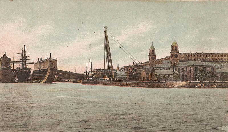
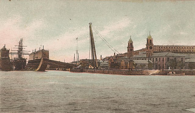
English: The Royal Navy floating drydock Bermuda at the Royal Naval Dockyard on Ireland Island, Bermuda. |
| Date | |
| Source | Contemporary card |
| Author | Royal Navy |
| Camera location | | View this and other nearby images on: OpenStreetMap |
|---|
This work created by the United Kingdom Government is in the public domain.
This is because it is one of the following:
HMSO has declared that the expiry of Crown Copyrights applies worldwide (ref: HMSO Email Reply)
|
 |
File history
Click on a date/time to view the file as it appeared at that time.
| Date/Time | Thumbnail | Dimensions | User | Comment | |
|---|---|---|---|---|---|
| current | 01:23, 5 June 2017 | | 6,416 × 3,716 (3.95 MB) | Aodhdubh | {{subst:Upload marker added by en.wp UW}} {{Information |Description = {{en|The Royal Navy floating drydock ''Bermuda'' at the Royal Naval Dockyard on [[:en:Ireland Isla... |
File usage
The following pages on the English Wikipedia use this file (pages on other projects are not listed):