

Size of this preview: 800 × 533 pixels. Other resolutions: 320 × 213 pixels | 640 × 427 pixels | 1,024 × 683 pixels | 1,500 × 1,000 pixels.
Original file (1,500 × 1,000 pixels, file size: 711 KB, MIME type: image/jpeg)
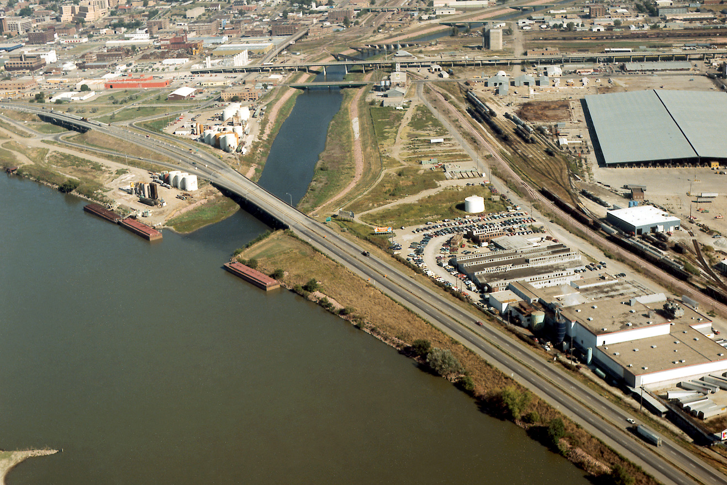
| Description | Aerial view of Sioux City, Iowa, USA, at the confluence of the Missouri and Floyd Rivers. Interstate-29 crosses the mouth of the Floyd River. | |||
| Location | Sioux City, Iowa, USA 42°28′58.75″N 96°23′29.44″W / 42.4829861°N 96.3915111°W |
|||
| Date | not specified | |||
| Source |
U.S. Army Corps of Engineers Digital Visual Library Image page Image description page Digital Visual Library home page |
|||
| Author | Robert Etzel, U.S. Army Corps of Engineers | |||
| Permission (Reusing this file) |
|
File history
Click on a date/time to view the file as it appeared at that time.
| Date/Time | Thumbnail | Dimensions | User | Comment | |
|---|---|---|---|---|---|
| current | 04:23, 19 March 2007 | | 1,500 × 1,000 (711 KB) | DanMS | {{Information | Description = Aerial view of Sioux City, Iowa, USA, at the confluence of the Missouri and Floyd Rivers. Interstate-29 crosses the mouth of the Floyd River. | Source = U.S. Army Corps of Engineers Digital Visual Library<br />[http://im |
File usage
The following pages on the English Wikipedia use this file (pages on other projects are not listed):
Global file usage
The following other wikis use this file:
- Usage on arz.wikipedia.org
- Usage on ast.wikipedia.org
- Usage on ceb.wikipedia.org
- Usage on de.wikipedia.org
- Usage on es.wikipedia.org
- Usage on fa.wikipedia.org
- Usage on fr.wikipedia.org
- Usage on gl.wikipedia.org
- Usage on incubator.wikimedia.org
- Usage on ja.wikipedia.org
- Usage on mr.wikipedia.org
- Usage on pt.wikipedia.org
- Usage on ru.wikipedia.org
- Usage on ta.wikipedia.org
- Usage on uk.wikipedia.org
- Usage on www.wikidata.org