

No higher resolution available.
Washita_River_Pauls_Valley_Oklahoma.jpg (500 × 375 pixels, file size: 56 KB, MIME type: image/jpeg)
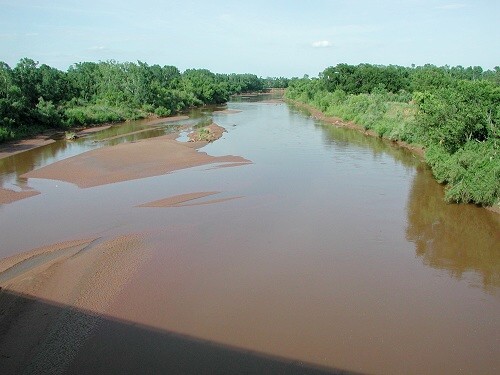
| Description | The w:Washita River near w:Pauls Valley, Oklahoma | |||
| Date | Unknown date | |||
| Source | http://www.srh.noaa.gov/oun/hydro/fpoints/fpindex.php?fpid=plvo2 (file is http://www.srh.noaa.gov/oun/hydro/fpoints/plvo2/plvo2_ds.jpg) | |||
| Author | unknown NOAA employee | |||
| Permission (Reusing this file) |
|
File history
Click on a date/time to view the file as it appeared at that time.
| Date/Time | Thumbnail | Dimensions | User | Comment | |
|---|---|---|---|---|---|
| current | 04:21, 17 September 2006 | | 500 × 375 (56 KB) | TimK MSI | {{Information |Description=The w:Washita River near w:Pauls Valley, Oklahoma |Source=http://www.srh.noaa.gov/oun/hydro/fpoints/fpindex.php?fpid=plvo2 (file is http://www.srh.noaa.gov/oun/hydro/fpoints/plvo2/plvo2_ds.jpg) |Date=unknown |Author=unkn |
File usage
The following pages on the English Wikipedia use this file (pages on other projects are not listed):
Global file usage
The following other wikis use this file:
- Usage on chy.wikipedia.org
- Usage on de.wikipedia.org
- Usage on fy.wikipedia.org