


Size of this preview: 800 × 565 pixels. Other resolutions: 320 × 226 pixels | 640 × 452 pixels | 1,024 × 723 pixels | 1,104 × 780 pixels.
Original file (1,104 × 780 pixels, file size: 75 KB, MIME type: image/jpeg)
Summary
|
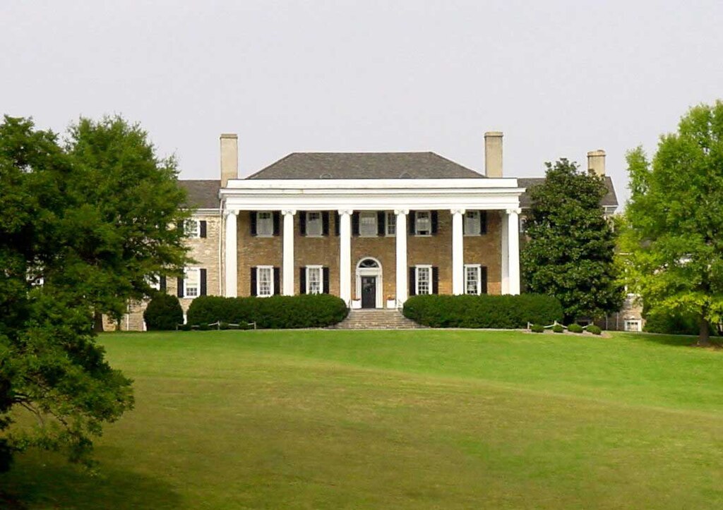
This is an image of a place or building that is listed on the National Register of Historic Places in the United States of America. Its reference number is 73002003. |
| Description | Located in Millwood, Virginia, Clarke County |
| Source | Uploaded by Sevenofnine7o9 as own work |
| Author | Sevenofnine7o9 |
| Object location | | View this and other nearby images on: OpenStreetMap |
|---|
Licensing
| This work has been released into the public domain by its author, Sevenofnine7o9. This applies worldwide. In some countries this may not be legally possible; if so: |
Original enwiki upload log
- 19:06, 3 February 2007, uploaded by Sevenofnine7o9 (Talk | contribs ) 1,104×780 75 KB (Located in Millwood, Virginia, Clarke County)
File history
Click on a date/time to view the file as it appeared at that time.
| Date/Time | Thumbnail | Dimensions | User | Comment | |
|---|---|---|---|---|---|
| current | 01:19, 22 April 2008 | | 1,104 × 780 (75 KB) | WJBscribe | {{Information |Description=Located in Millwood, Virginia, Clarke County |Source= |Date= |Author=Sevenofnine7o9 |Permission= |other_versions= }} == Licensing == {{PD-User|Sevenofnine7o9|en}} |
File usage
The following pages on the English Wikipedia use this file (pages on other projects are not listed):
Global file usage
The following other wikis use this file:
- Usage on it.wikipedia.org
- Usage on pt.wikipedia.org
- Usage on www.wikidata.org