

Size of this preview: 800 × 579 pixels. Other resolutions: 320 × 232 pixels | 640 × 463 pixels | 1,024 × 741 pixels | 1,280 × 926 pixels | 2,560 × 1,853 pixels | 3,266 × 2,364 pixels.
Original file (3,266 × 2,364 pixels, file size: 1.4 MB, MIME type: image/jpeg)
]]) 16:46, 9 October 2019 (UTC)}}
Summary
| Description |
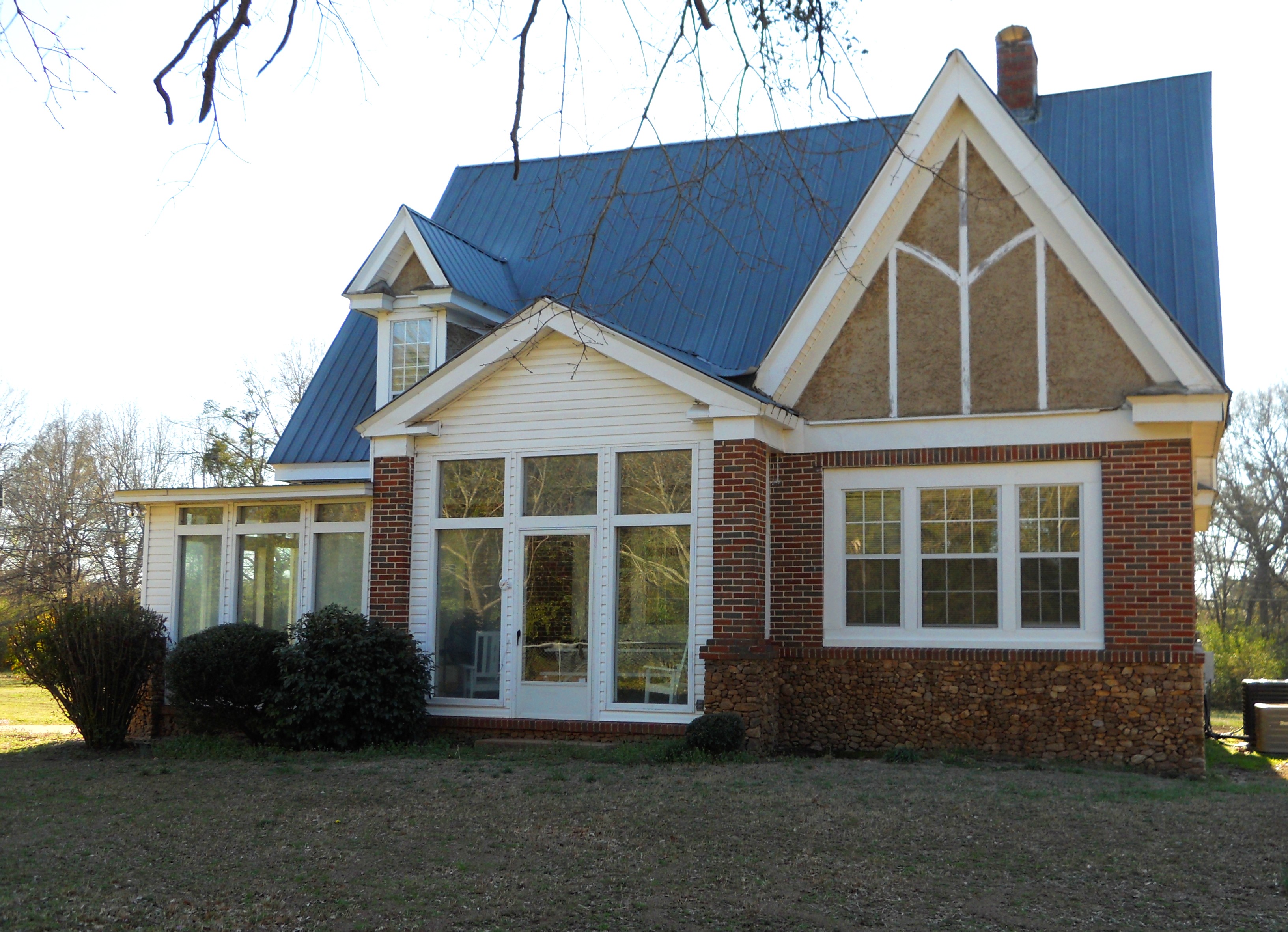
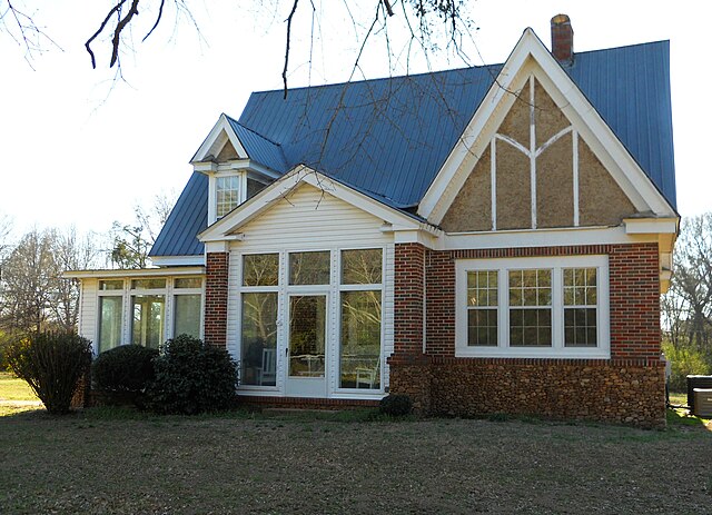
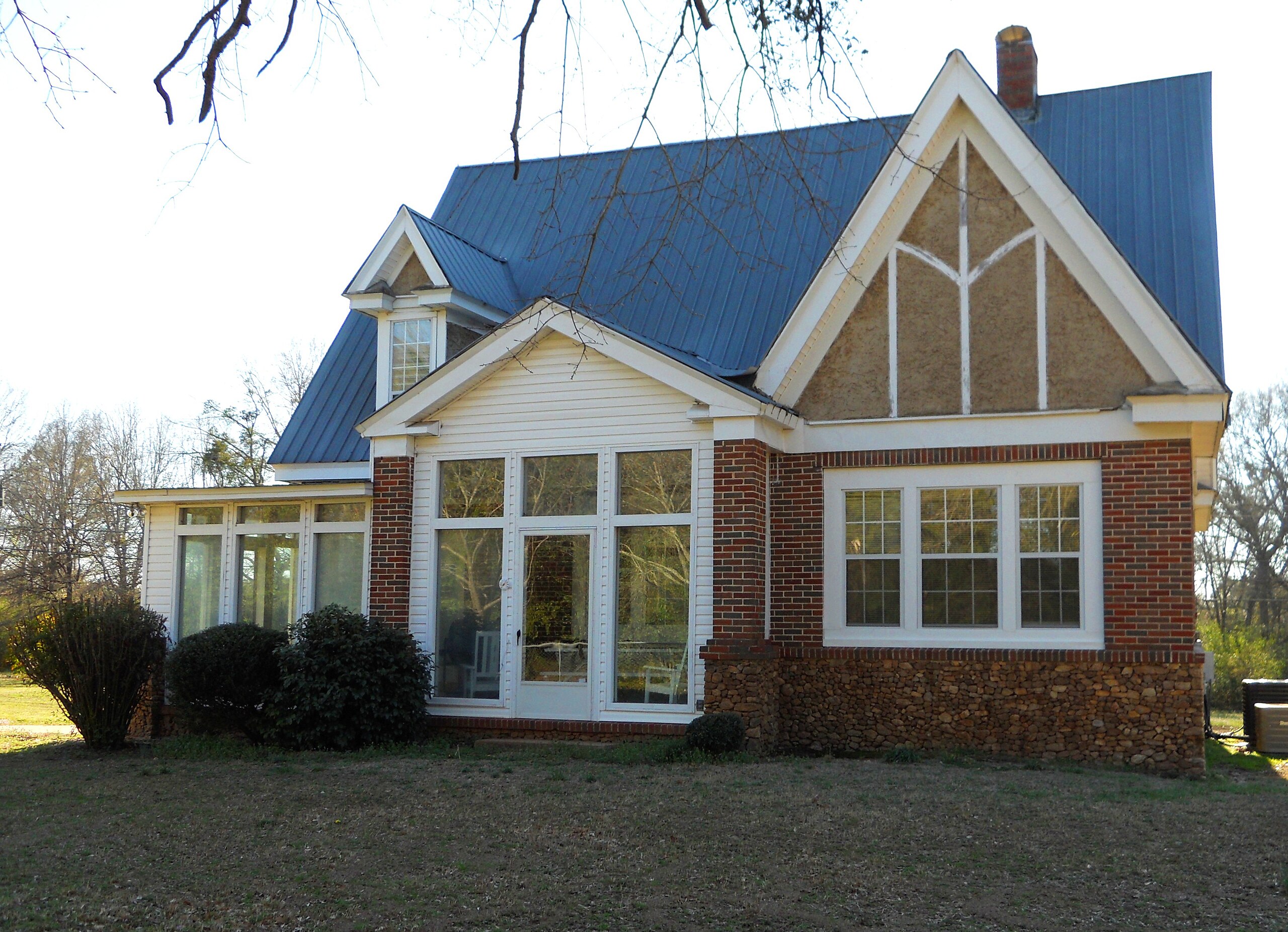
English: This is a photograph of a house on LaFayette Street North / U.S. Route 431 in Chambers County, Alabama, coming north out of w:LaFayette, Alabama. It was temporarily and incorrectly thought to be the National Register of Historic Places-listed w:Ernest McCarty Oliver House, located on same street back in town, probably because coordinates info was incorrect. |
||
| Date | |||
| Source | Own work | ||
| Author | Rivers A. Langley; SaveRivers | ||
| Permission (Reusing this file) |
I, the copyright holder of this work, hereby publish it under the following licenses: This file is licensed under the Creative Commons Attribution-Share Alike 3.0 Unported license.
You may select the license of your choice. |

| Object location | | View this and other nearby images on: OpenStreetMap |
|---|
File history
Click on a date/time to view the file as it appeared at that time.
| Date/Time | Thumbnail | Dimensions | User | Comment | |
|---|---|---|---|---|---|
| current | 03:14, 2 March 2011 | | 3,266 × 2,364 (1.4 MB) | SaveRivers | {{Information |Description ={{en|1=This is a photograph of the Ernest McCarty Oliver House. It was added to the National Register of Historic Places on January 21, 1974.}} |Source ={{own}} |Author =Rivers A. Langley; [[User:SaveRivers|S |
File usage
The following pages on the English Wikipedia use this file (pages on other projects are not listed):
Global file usage
The following other wikis use this file:
- Usage on de.wikipedia.org
- Usage on el.wikipedia.org
- Usage on fa.wikipedia.org
- Usage on ga.wikipedia.org