

Size of this preview: 800 × 533 pixels. Other resolutions: 320 × 213 pixels | 640 × 427 pixels.
Original file (900 × 600 pixels, file size: 465 KB, MIME type: image/jpeg)
Summary
| Description |
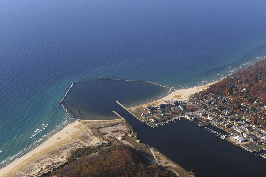
English: Frankfort Harbor, Frankfort MI aerial view
NRHP#97000973 |
| Date | |
| Source | US Army Corps of Engineers, Detroit District |
| Author | US Army Corps of Engineers, Detroit District |
Licensing
This file is a work of a U.S. Army soldier or employee, taken or made as part of that person's official duties. As a work of the U.S. federal government, it is in the public domain in the United States.
|
 |
File history
Click on a date/time to view the file as it appeared at that time.
| Date/Time | Thumbnail | Dimensions | User | Comment | |
|---|---|---|---|---|---|
| current | 12:29, 3 January 2014 | | 900 × 600 (465 KB) | Andrew Jameson | User created page with UploadWizard |
File usage
The following pages on the English Wikipedia use this file (pages on other projects are not listed):
Global file usage
The following other wikis use this file:
- Usage on www.wikidata.org