


Size of this preview: 800 × 600 pixels. Other resolutions: 320 × 240 pixels | 640 × 480 pixels | 1,024 × 768 pixels | 1,280 × 960 pixels | 2,560 × 1,920 pixels | 3,296 × 2,472 pixels.
Original file (3,296 × 2,472 pixels, file size: 1.83 MB, MIME type: image/jpeg)
|
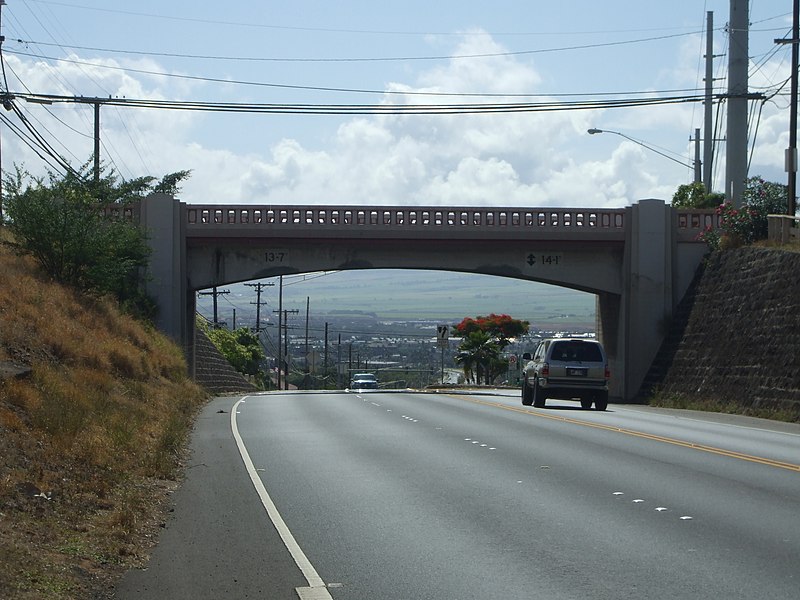
This is an image of a place or building that is listed on the National Register of Historic Places in the United States of America. Its reference number is 08001065. |
Summary
| Description | Ka'ahumanu Avenue - Naniloa Drive Overpass. |
| Date | July 15th, 2009 9:50:06 AM Hawaii Standard Time |
| Source | Uploader. |
| Author | 293.xx.xxx.xx |
| Object location | | View this and other nearby images on: OpenStreetMap |
|---|
Licensing
I, the copyright holder of this work, hereby publish it under the following license:
This file is licensed under the Creative Commons Attribution 3.0 Unported license.
- You are free:
- to share – to copy, distribute and transmit the work
- to remix – to adapt the work
- Under the following conditions:
- attribution – You must give appropriate credit, provide a link to the license, and indicate if changes were made. You may do so in any reasonable manner, but not in any way that suggests the licensor endorses you or your use.
File history
Click on a date/time to view the file as it appeared at that time.
| Date/Time | Thumbnail | Dimensions | User | Comment | |
|---|---|---|---|---|---|
| current | 08:11, 25 July 2009 | | 3,296 × 2,472 (1.83 MB) | 293.xx.xxx.xx | == Summary == {{Information |Description=Ka'ahumanu Avenue - Naniloa Drive Overpass. |Source=Uploader. |Date=July 15th, 2009 9:50:06 AM Hawaii Standard Time |Author=293.xx.xxx.xx |Permission= |other_versions= }} == Licensing == |
File usage
The following pages on the English Wikipedia use this file (pages on other projects are not listed):