

Size of this preview: 800 × 600 pixels. Other resolutions: 320 × 240 pixels | 640 × 480 pixels | 1,024 × 768 pixels | 1,280 × 960 pixels | 2,560 × 1,920 pixels.
Original file (2,560 × 1,920 pixels, file size: 2.48 MB, MIME type: image/jpeg)
Summary
| Description | |
| Date | |
| Source | Own work |
| Author | Ammodramus |
| Object location | | View this and other nearby images on: OpenStreetMap |
|---|
Licensing
| I, the copyright holder of this work, release this work into the public domain. This applies worldwide. In some countries this may not be legally possible; if so: I grant anyone the right to use this work for any purpose, without any conditions, unless such conditions are required by law. |
File history
Click on a date/time to view the file as it appeared at that time.
| Date/Time | Thumbnail | Dimensions | User | Comment | |
|---|---|---|---|---|---|
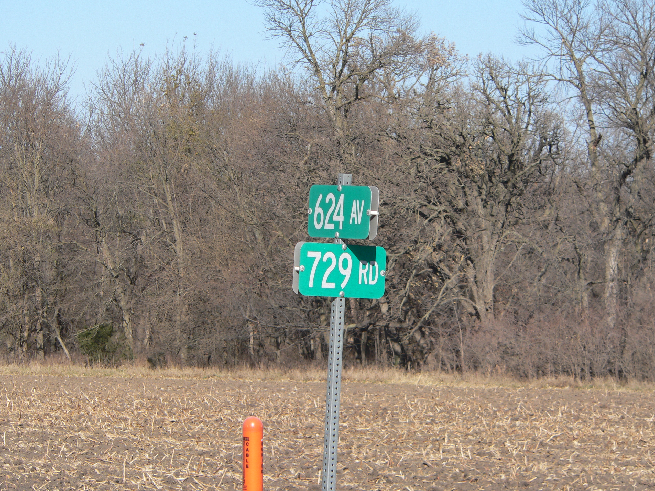
| current | 03:25, 19 November 2010 | | 2,560 × 1,920 (2.48 MB) | Ammodramus | {{Information |Description={{en|1=Road sign just north of {{w|Keim Stone Arch Bridge}} in {{w|Johnson County, Nebraska}}.}} |Source={{own}} |Author=Ammodramus |Date=2010-11-08 |Permission= |other_versions= }} Category:Spnak |
File usage
No pages on the English Wikipedia use this file (pages on other projects are not listed).