


Size of this preview: 800 × 450 pixels. Other resolutions: 320 × 180 pixels | 640 × 360 pixels | 1,024 × 576 pixels | 1,280 × 720 pixels | 2,816 × 1,584 pixels.
Original file (2,816 × 1,584 pixels, file size: 2.02 MB, MIME type: image/jpeg)
|
This is an image of a place or building that is listed on the National Register of Historic Places in the United States of America. Its reference number is 78001195. |
| Camera location | | View this and other nearby images on: OpenStreetMap |
|---|
| Description |
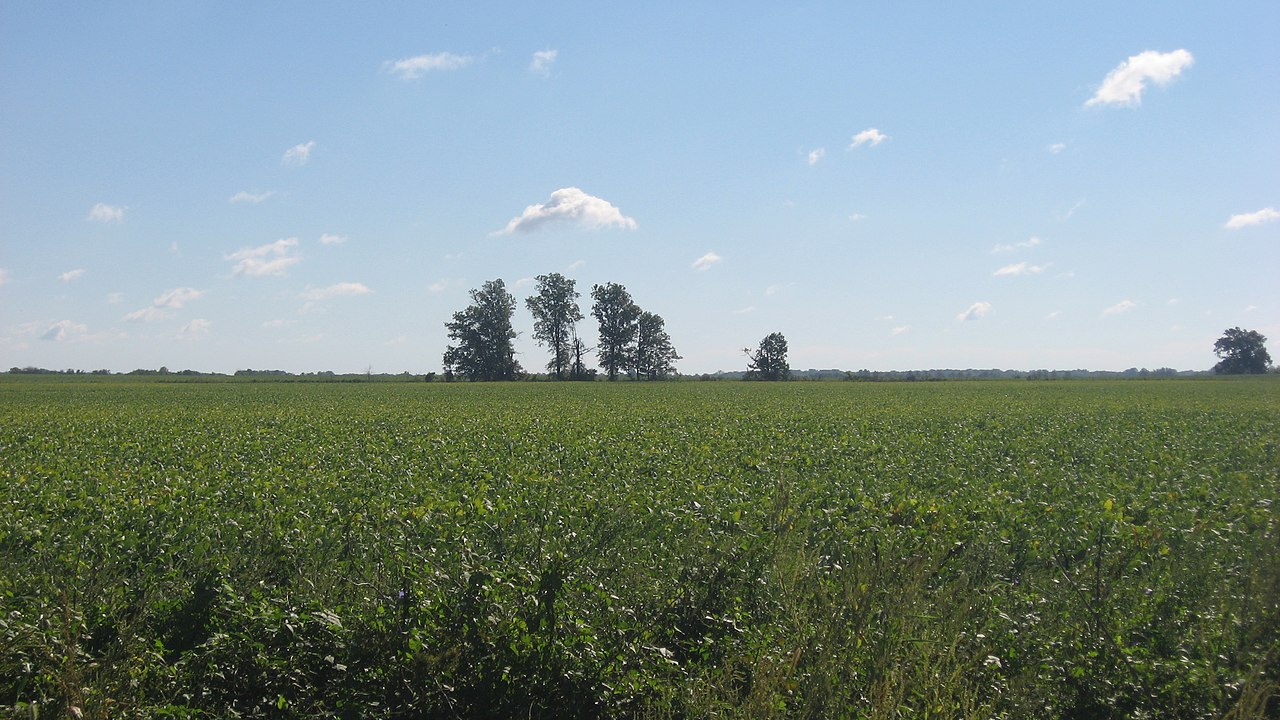
English: Overview of fields on the eastern side of County Road 900E just north of its bridge over the Skillet Fork in Orel Township, Wayne County, Illinois, United States. In the distance are the Mayberry Mound and Village Site, an important archaeological site that is listed on the National Register of Historic Places. |
||
| Date | Taken on 8 September 2012 | ||
| Source | Own work | ||
| Author | Nyttend | ||
| Permission (Reusing this file) |
|
File history
Click on a date/time to view the file as it appeared at that time.
| Date/Time | Thumbnail | Dimensions | User | Comment | |
|---|---|---|---|---|---|
| current | 12:43, 6 October 2012 | | 2,816 × 1,584 (2.02 MB) | Nyttend | {{NRHP|78001195}} {{Location|38|19|12|N|88|31|30|W}} {{Information |Description={{en|Overview of fields on the eastern side of County Road 900E just north of its bridge over the {{w|Skillet Fork}} in {{w|Orel Township, Wayne County, Illinois|Orel Towns... |
File usage
The following pages on the English Wikipedia use this file (pages on other projects are not listed):
Global file usage
The following other wikis use this file:
- Usage on de.wikipedia.org
- Usage on es.wikipedia.org
- Usage on eu.wikipedia.org
- Usage on fr.wikipedia.org
- Usage on ur.wikipedia.org
- Usage on vi.wikipedia.org
- Usage on www.wikidata.org