

Size of this preview: 800 × 459 pixels. Other resolutions: 320 × 184 pixels | 640 × 367 pixels | 1,024 × 588 pixels | 1,280 × 735 pixels | 2,676 × 1,536 pixels.
Original file (2,676 × 1,536 pixels, file size: 3.31 MB, MIME type: image/jpeg)
|
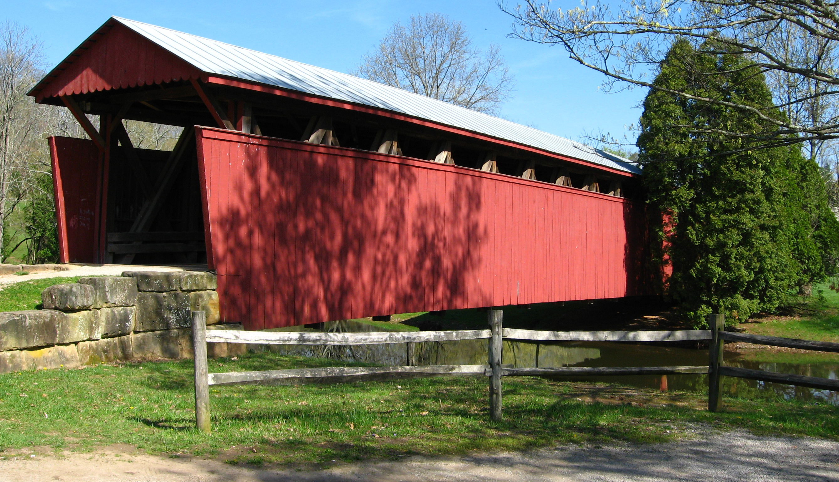
This is an image of a place or building that is listed on the National Register of Historic Places in the United States of America. Its reference number is 79002582. |
| Description |
English: The Staats Mill Covered Bridge — at Cedar Lakes Conference Center located near Ripley, Jackson County, West Virginia.
|
||||||||
| Date | |||||||||
| Source | Own work | ||||||||
| Author | Youngamerican (talk) | ||||||||
| Permission (Reusing this file) |
I, the copyright holder of this work, hereby publish it under the following licenses:
You may select the license of your choice. |

| Object location | | View this and other nearby images on: OpenStreetMap |
|---|
File history
Click on a date/time to view the file as it appeared at that time.
| Date/Time | Thumbnail | Dimensions | User | Comment | |
|---|---|---|---|---|---|
| current | 12:41, 25 March 2009 | | 2,676 × 1,536 (3.31 MB) | Youngamerican | {{Information |Description=Photo of the Staats Mill Covered Bridge at Cedar Lakes Conference Center located near Ripley, West Virginia |Source=self-made |Date= April 17, 2008 |Author= Youngamerican ([[User talk:Youngamerican|<span c |
File usage
The following pages on the English Wikipedia use this file (pages on other projects are not listed):
Global file usage
The following other wikis use this file:
- Usage on www.wikidata.org