

Size of this preview: 800 × 517 pixels. Other resolutions: 320 × 207 pixels | 640 × 414 pixels | 1,024 × 662 pixels | 1,523 × 985 pixels.
Original file (1,523 × 985 pixels, file size: 1.31 MB, MIME type: image/jpeg)
| Description |
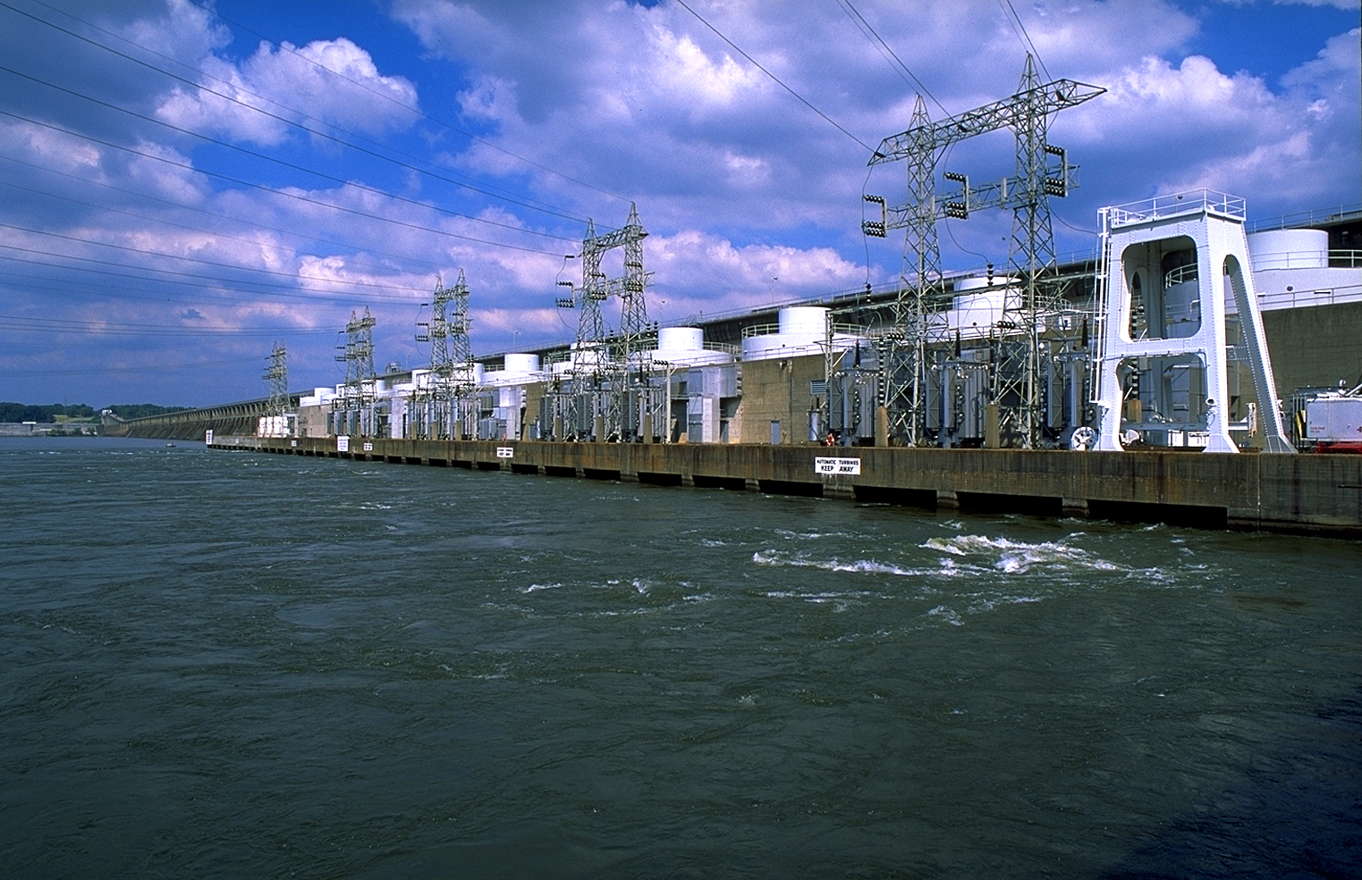
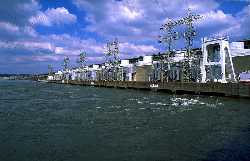
English: Wheeler Dam on the Tennessee River between Lauderdale County and Lawrence County in the U.S. state of Alabama. |
|||
| Date | Unknown date | |||
| Source | tva.com | |||
| Author | Tennessee Valley Authority | |||
| Permission (Reusing this file) |
|
| Camera location | | View this and other nearby images on: OpenStreetMap |
|---|
File history
Click on a date/time to view the file as it appeared at that time.
| Date/Time | Thumbnail | Dimensions | User | Comment | |
|---|---|---|---|---|---|
| current | 15:31, 1 February 2013 | | 1,523 × 985 (1.31 MB) | Bomazi | {{Information |Description ={{en|1=Wheeler Dam on the Tennessee River between Lauderdale County and Lawrence County in the U.S. state of Alabama.}} |Source =[www.tva.com/news/downloads.htm tva.com] |Author =Tennessee Valley Authority... |
File usage
The following pages on the English Wikipedia use this file (pages on other projects are not listed):
Global file usage
The following other wikis use this file:
- Usage on arz.wikipedia.org
- Usage on ceb.wikipedia.org
- Usage on de.wikipedia.org
- Usage on uk.wikipedia.org
- Usage on www.wikidata.org