


Size of this preview: 744 × 600 pixels. Other resolutions: 298 × 240 pixels | 596 × 480 pixels | 953 × 768 pixels | 1,270 × 1,024 pixels | 1,708 × 1,377 pixels.
Original file (1,708 × 1,377 pixels, file size: 600 KB, MIME type: image/jpeg)
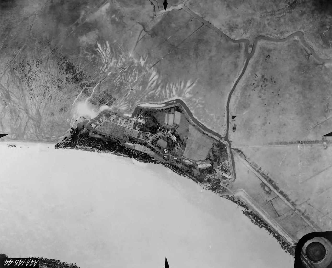
| Description | Fort St. Philip, Plaquemines Parish, Louisiana. Air view, 1935, showing condition of the Fort at the time, and the surrounding area, with farmland, bend in the Mississippi River. | |||
| Date | ||||
| Source | 1935 U.S. Army Corps of Engineers photo, extracted from PDF at [1] | |||
| Author |
|
File history
Click on a date/time to view the file as it appeared at that time.
| Date/Time | Thumbnail | Dimensions | User | Comment | |
|---|---|---|---|---|---|
| current | 09:34, 16 December 2021 | | 1,708 × 1,377 (600 KB) | Sebastian Wallroth | Rotated 180° using CropTool with lossless mode. |
| 17:01, 24 October 2009 |  | 1,708 × 1,377 (576 KB) | Infrogmation | {{Information |Description= Fort St. Philip, Plaquemines Parish, Louisiana. Air view, 1935, showing condition of the Fort at the time, and the surrounding area, with farmland, bend in the Mississippi River. |Source= 1935 U.S. Army Corps of Engineers photo |
File usage
The following pages on the English Wikipedia use this file (pages on other projects are not listed):
Global file usage
The following other wikis use this file:
- Usage on fr.wikipedia.org
- Usage on ja.wikipedia.org