


Size of this PNG preview of this SVG file: 692 × 599 pixels. Other resolutions: 277 × 240 pixels | 554 × 480 pixels | 887 × 768 pixels | 1,183 × 1,024 pixels | 2,365 × 2,048 pixels | 1,201 × 1,040 pixels.
Original file (SVG file, nominally 1,201 × 1,040 pixels, file size: 522 KB)
Summary
| Description |
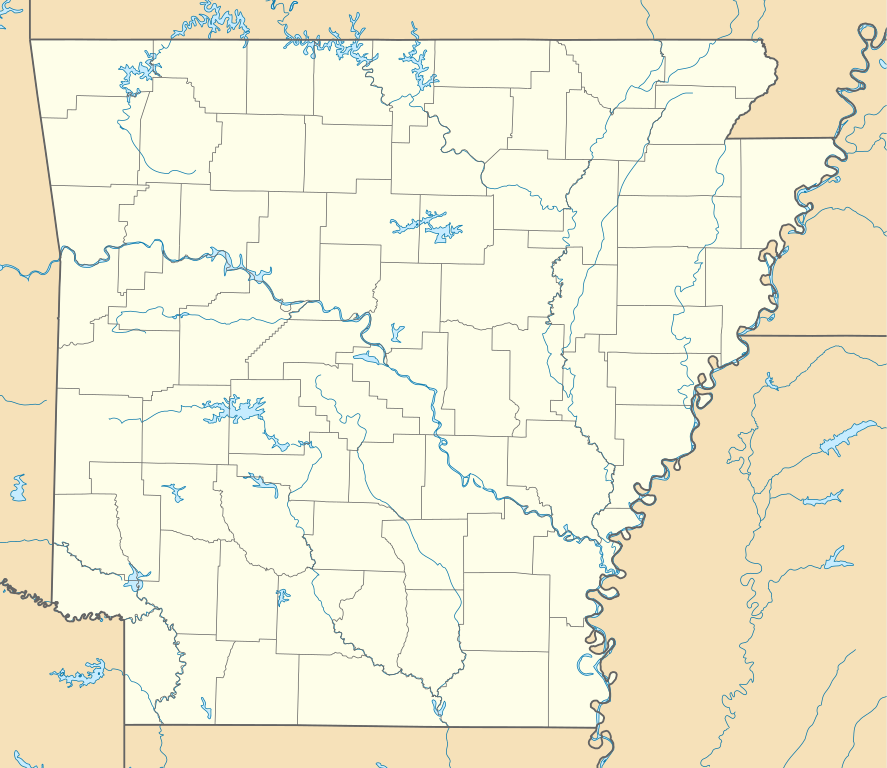
Quadratische Plattkarte, N-S-Streckung 120.0 %. Geographische Begrenzung der Karte:
Equirectangular projection, N/S stretching 120.0 %. Geographic limits of the map:
|
| Date | |
| Source | Own work |
| Author | Alexrk2 |
| Other versions |
Derivative works of this file: BMO Harris Bank 2012-06.png Derivative works of this file: |

|
This map has been made or improved in the German Kartenwerkstatt (Map Lab). You can propose maps to improve as well.
|
Licensing
I, the copyright holder of this work, hereby publish it under the following licenses:

|
Permission is granted to copy, distribute and/or modify this document under the terms of the GNU Free Documentation License, Version 1.2 or any later version published by the Free Software Foundation; with no Invariant Sections, no Front-Cover Texts, and no Back-Cover Texts. A copy of the license is included in the section entitled GNU Free Documentation License. |
This file is licensed under the Creative Commons Attribution 3.0 Unported license.
- You are free:
- to share – to copy, distribute and transmit the work
- to remix – to adapt the work
- Under the following conditions:
- attribution – You must give appropriate credit, provide a link to the license, and indicate if changes were made. You may do so in any reasonable manner, but not in any way that suggests the licensor endorses you or your use.
You may select the license of your choice.
File history
Click on a date/time to view the file as it appeared at that time.
| Date/Time | Thumbnail | Dimensions | User | Comment | |
|---|---|---|---|---|---|
| current | 20:12, 17 December 2009 | | 1,201 × 1,040 (522 KB) | Alexrk2 | minor enh. |
| 16:37, 20 June 2009 |  | 1,201 × 1,040 (609 KB) | Alexrk2 | fixed bbox | |
| 13:13, 20 June 2009 |  | 1,201 × 1,147 (583 KB) | Alexrk2 | fixed page size | |
| 13:12, 20 June 2009 |  | 800 × 764 (575 KB) | Alexrk2 | == Beschreibung == {{Information |Description= {{de|Positionskarte von Arkansas, USA}} Quadratische Plattkarte, N-S-Streckung 120.0 %. Geographische Begrenzung der Karte: * N: 36.7° N * S: 32.8° N * W: 94.8° W * O: 89.9° W |
File usage
More than 100 pages use this file. The following list shows the first 100 pages that use this file only. A full list is available.
- Albert Pike Residence Hotel
- Alma, Arkansas
- Altus, Arkansas
- Arkadelphia, Arkansas
- Arkansas
- Arkansas Baptist College
- Arkansas Museum of Fine Arts
- Arkansas PBS
- Arkansas Union
- Armorel, Arkansas
- Ash Flat, Arkansas
- Ashdown, Arkansas
- Atkins, Arkansas
- Augusta, Arkansas
- Austin, Arkansas
- Bald Knob, Arkansas
- Battle of Chalk Bluff
- Battle of Devil's Backbone
- Battle of St. Charles
- Battle of Whitney's Lane
- Beebe, Arkansas
- Bella Vista, Arkansas
- Blanchard Springs Caverns
- Blue Spring Heritage Center
- Bobby Hopper Tunnel
- Bolding, Arkansas
- Botanical Garden of the Ozarks
- Boyd, Arkansas
- Branch, Arkansas
- Bull Shoals-White River State Park
- Caddo Gap, Arkansas
- Camden, Arkansas
- Camden Expedition
- Camp Nelson Confederate Cemetery
- Cane Creek State Park
- Clarkridge, Arkansas
- Clinton Presidential Center
- Conway Cemetery State Park
- Cossatot River State Park-Natural Area
- Crater of Diamonds State Park
- Crowley's Ridge State Park
- Cummins Unit
- Daisy State Park
- DeGray Lake Resort State Park
- Delta Cultural Center
- Dooley, Arkansas
- Dunbar Magnet Middle School
- El Dorado, Arkansas
- Elkhorn Tavern
- Evergreen Cemetery (Fayetteville, Arkansas)
- Fayetteville National Cemetery
- Ferguson Crossroads, Arkansas
- Fort Smith National Cemetery
- Garrott House
- Genoa, Arkansas
- Hamilton Township, Lonoke County, Arkansas
- Harrison Courthouse Square Historic District
- Helena–West Helena, Arkansas
- Historic Arkansas Museum
- Historic Washington State Park
- Hope, Arkansas
- Hot Springs High School (Arkansas)
- Index, Arkansas
- Ink, Arkansas
- Jerome War Relocation Center
- Kirby, Arkansas
- Lake Chicot State Park
- Lake Dardanelle State Park
- List of Arkansas state parks
- Little Rock Central High School
- Little Rock National Cemetery
- Magnet Cove, Arkansas
- Malvern station (Arkansas)
- Mammoth Spring State Park
- Modoc, Arkansas
- Monte Ne
- Morrow Hall
- Mount Holly Cemetery
- Nogo, Arkansas
- Ozark Acres, Arkansas
- Paup, Arkansas
- Pea Ridge National Military Park
- Petit Jean State Park
- Pine Bluff Arsenal
- Pinnacle Mountain State Park
- Poison Springs Battleground State Park
- President William Jefferson Clinton Birthplace Home National Historic Site
- Rohwer War Relocation Center
- Schaal, Arkansas
- Scotland, Arkansas
- Scouting in Arkansas
- Sherwood, Arkansas
- Springdale Municipal Airport
- Stuttgart, Arkansas
- Subiaco Abbey (Arkansas)
- Sylverino, Arkansas
- Thorncrown Chapel
- Tilly, Arkansas
- Tower Building of the Little Rock Arsenal
- USS Razorback
View more links to this file.
Global file usage
The following other wikis use this file:
- Usage on an.wikipedia.org
- Usage on ar.wikipedia.org
- Usage on ast.wikipedia.org
- Usage on azb.wikipedia.org
- نیو بلین، آرکانزاس
- لاست بریج ویلج، آرکانزاس
- نیو ادینبورق، آرکانزاس
- هایواسی آرکانزاس
- بلکبورن، آرکانزاس
- مک آرتور، آرکانزاس
- کینهیل، آرکانزاس
- کیربی، آرکانزاس
- استیوز، آرکانزاس
- هالیدی آیلند، آرکانزاس
- میزویل، آرکانزاس
- بوفالو سیتی، آرکانزاس
- دنارد، آرکانزاس
- تامبلینق شولز، آرکانزاس
- رونالد، آرکانزاس
- سنتر ریج، آرکانزاس
- آویلا، آرکانزاس
- یاربورو لندینق، آرکانزاس
- رای، آرکانزاس
- قریولی، آرکانزاس
- هاروی، آرکانزاس
- پارکس، آرکانزاس
- دنوود، آرکانزاس
- بارتن، آرکانزاس
- بولز، آرکانزاس
- بیچ قروو، آرکانزاس
- کلمبوس، آرکانزاس
- قودوین، آرکانزاس
- بریکلیز، آرکانزاس
- اجمانت، آرکانزاس
- فیفتیسیکس، آرکانزاس
- کورتیس، آرکانزاس
- هث، آرکانزاس
- آیدا، آرکانزاس
- کامپتون، آرکانزاس
- کپس، آرکانزاس
- هپی، آرکانزاس
- آرمورل، آرکانزاس
- آرورا، آرکانزاس
- الدریج کورنر، آرکانزاس
- فر اوکس، آرکانزاس
- ماوند سیتی، آرکانزاس
- کاسکو، آرکانزاس
- فورلو، آرکانزاس
View more global usage of this file.