

No higher resolution available.
Chickasaw_Nation_map.png (400 × 398 pixels, file size: 253 KB, MIME type: image/png)
Summary
| Description |
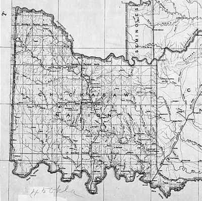
English: Detail of 1891 map from the National Archives and is in the Public Domain. |
| Source | |
| Author |
Licensing
This media file is in the public domain in the United States. This applies to U.S. works where the copyright has expired, often because its first publication occurred prior to January 1, 1929, and if not then due to lack of notice or renewal. See this page for further explanation.
|
 | |
 |
This image might not be in the public domain outside of the United States; this especially applies in the countries and areas that do not apply the rule of the shorter term for US works, such as Canada, Mainland China (not Hong Kong or Macao), Germany, Mexico, and Switzerland. The creator and year of publication are essential information and must be provided. See Wikipedia:Public domain and Wikipedia:Copyrights for more details.
|
Original upload log
The original description page was here. All following user names refer to en.wikipedia.
- 2006-12-26 19:14 OkieDokie 400×398×8 (258858 bytes) Detail of 1891 map from the National Archives and is in the Public Domain.
File history
Click on a date/time to view the file as it appeared at that time.
| Date/Time | Thumbnail | Dimensions | User | Comment | |
|---|---|---|---|---|---|
| current | 16:30, 5 April 2008 | | 400 × 398 (253 KB) | File Upload Bot (Magnus Manske) | {{BotMoveToCommons|en.wikipedia}} {{Information |Description={{en|Detail of 1891 map from the National Archives and is in the Public Domain. en:Category:Oklahoma maps}} |Source=Transferred from [http://en.wikipedia.org en.wikipedia] |Date=2006-12-2 |
File usage
The following pages on the English Wikipedia use this file (pages on other projects are not listed):
Global file usage
The following other wikis use this file:
- Usage on ca.wikipedia.org
- Usage on de.wikipedia.org