


Size of this preview: 800 × 600 pixels. Other resolutions: 320 × 240 pixels | 640 × 480 pixels | 1,024 × 768 pixels | 1,280 × 960 pixels | 2,560 × 1,920 pixels | 2,816 × 2,112 pixels.
Original file (2,816 × 2,112 pixels, file size: 2.6 MB, MIME type: image/jpeg)
|
This is an image of a place or building that is listed on the National Register of Historic Places in the United States of America. Its reference number is 85002137. |
| Camera location | | View this and other nearby images on: OpenStreetMap |
|---|
| Description |
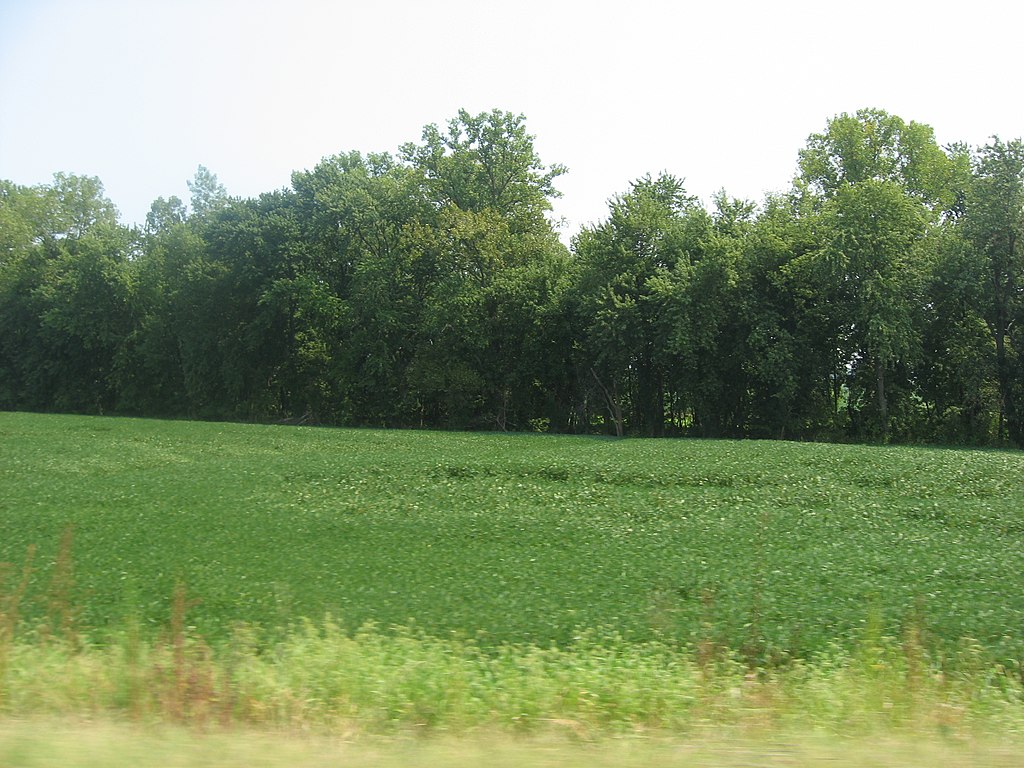
English: Overview of the Ashworth Archaeological Site, located in a field on the eastern side of State Road 69 north of Hovey Lake in Point Township, Posey County, Indiana, United States. Once a village of the Caborn-Welborn culture, a Mississippian people, Ashworth is an archaeological site and listed on the National Register of Historic Places. |
||
| Date | Taken on 3 September 2011 | ||
| Source | Own work | ||
| Author | Nyttend | ||
| Permission (Reusing this file) |
|
File history
Click on a date/time to view the file as it appeared at that time.
| Date/Time | Thumbnail | Dimensions | User | Comment | |
|---|---|---|---|---|---|
| current | 02:47, 7 September 2011 | | 2,816 × 2,112 (2.6 MB) | Nyttend | {{Location|37|51|0|N|87|56|10|W}} {{Information |Description={{en|Overview of the {{w|Ashworth Archaeological Site}}, located in a field on the eastern side of {{w|Indiana State Road 69|State Road 69}} north of {{w|Hovey Lake, Indiana|Hovey Lake}} in {{w| |
File usage
The following pages on the English Wikipedia use this file (pages on other projects are not listed):
Global file usage
The following other wikis use this file:
- Usage on de.wikipedia.org
- Usage on www.wikidata.org