


Size of this preview: 800 × 536 pixels. Other resolutions: 320 × 214 pixels | 640 × 428 pixels | 1,024 × 685 pixels | 1,280 × 857 pixels | 2,560 × 1,714 pixels | 3,872 × 2,592 pixels.
Original file (3,872 × 2,592 pixels, file size: 4 MB, MIME type: image/jpeg)
Summary
| Description |
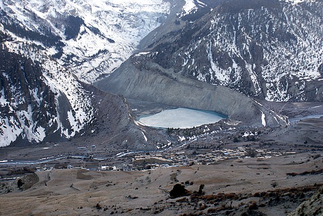
English: Damodar Himal
|
||
| Date | |||
| Source | Own work | ||
| Author | Bijaya2043 |
| Camera location | | View this and other nearby images on: OpenStreetMap |
|---|
.JPG¶ms=028.665925_N_0084.021372_E_globe:Earth_type:camera__&language=en)
Licensing
I, the copyright holder of this work, hereby publish it under the following license:
This file is licensed under the Creative Commons Attribution-Share Alike 3.0 Unported license.
- You are free:
- to share – to copy, distribute and transmit the work
- to remix – to adapt the work
- Under the following conditions:
- attribution – You must give appropriate credit, provide a link to the license, and indicate if changes were made. You may do so in any reasonable manner, but not in any way that suggests the licensor endorses you or your use.
- share alike – If you remix, transform, or build upon the material, you must distribute your contributions under the same or compatible license as the original.
This image was uploaded as part of Wiki Loves Earth 2014.
|
 |
File history
Click on a date/time to view the file as it appeared at that time.
| Date/Time | Thumbnail | Dimensions | User | Comment | |
|---|---|---|---|---|---|
| current | 05:21, 9 May 2022 | | 3,872 × 2,592 (4 MB) | WikiPedant | selectively adjusted levels |
| 17:28, 31 May 2014 |  | 3,872 × 2,592 (3.44 MB) | Bijaya2043 | User created page with UploadWizard |
File usage
The following pages on the English Wikipedia use this file (pages on other projects are not listed):
Global file usage
The following other wikis use this file:
- Usage on bn.wikipedia.org
- Usage on el.wikipedia.org
- Usage on hy.wikipedia.org
- Usage on ka.wikipedia.org
- Usage on kw.wikipedia.org
- Usage on ru.wikipedia.org
- Usage on www.wikidata.org
- Usage on zh-yue.wikipedia.org
- Usage on zh.wikipedia.org
.JPG)