


Size of this preview: 800 × 531 pixels. Other resolutions: 320 × 213 pixels | 640 × 425 pixels | 1,024 × 680 pixels | 1,280 × 850 pixels | 2,048 × 1,360 pixels.
Original file (2,048 × 1,360 pixels, file size: 1.23 MB, MIME type: image/jpeg)
Summary
| Description |
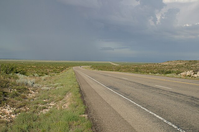
English: Looking west toward a distant storm along Texas State Highway 302 about 3 km west of Notrees, Texas. |
| Date | |
| Source | Own work |
| Author | Leaflet |
| Other versions | Other public domain photos of the Llano Estacado and West Texas |
| Camera location | | View this and other nearby images on: OpenStreetMap |
|---|
Licensing
| I, the copyright holder of this work, release this work into the public domain. This applies worldwide. In some countries this may not be legally possible; if so: I grant anyone the right to use this work for any purpose, without any conditions, unless such conditions are required by law. |
File history
Click on a date/time to view the file as it appeared at that time.
| Date/Time | Thumbnail | Dimensions | User | Comment | |
|---|---|---|---|---|---|
| current | 01:53, 2 October 2009 | | 2,048 × 1,360 (1.23 MB) | Leaflet | {{Information |Description={{en|1=Looking west toward a distant storm along {{w|Texas State Highway 302}} about 3 km west of {{w|Notrees, Texas}}.}} |Source={{own}} |Author=Leaflet |Date=2004-07-29 |Permission= |other_versions=http://www. |
File usage
The following pages on the English Wikipedia use this file (pages on other projects are not listed):
Global file usage
The following other wikis use this file:
- Usage on fy.wikipedia.org
- Usage on it.wikipedia.org
- Usage on www.wikidata.org
- Usage on zh.wikipedia.org