

Location_of_Isauria-Asia_Minor_Map,_Classical_Atlas,_1886,_Keith_Johnston.jpg (637 × 340 pixels, file size: 112 KB, MIME type: image/jpeg)
| Description |
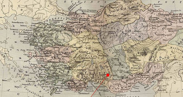
English: Asia Minor.
|
| Date | (UTC) |
| Source | |
| Author |
|
| This is a retouched picture, which means that it has been digitally altered from its original version. Modifications: Cropping and red pointer added to show location of Isauria. The original can be viewed here: Asia Minor Map, Classical Atlas, 1886, Keith Johnston.jpg:
|
|
This work is in the public domain in its country of origin and other countries and areas where the copyright term is the author's life plus 70 years or fewer.
| |
| This file has been identified as being free of known restrictions under copyright law, including all related and neighboring rights. | |
Original upload log
This image is a derivative work of the following images:
- File:Asia_Minor_Map,_Classical_Atlas,_1886,_Keith_Johnston.jpg licensed with Cc-pd-mark-footer, PD-old
- 2009-12-03T21:05:42Z Jssfrk 3669x2824 (938691 Bytes) {{Information |Description={{en|1=Asia Minor. Including Pontus, Cappadocia, Cilicia, Pisidia, Lycia, Caria, Lydia, Mysia, Bithynia, Paphlagonia, Phrygia, and Crete. "These color maps are 11" x 13.5" when printed at 300dpi. T
Uploaded with derivativeFX
File history
Click on a date/time to view the file as it appeared at that time.
| Date/Time | Thumbnail | Dimensions | User | Comment | |
|---|---|---|---|---|---|
| current | 23:23, 23 January 2011 | | 637 × 340 (112 KB) | Polylerus | {{Information |Description={{en|1=Asia Minor. Including Pontus, Cappadocia, Cilicia, Pisidia, Lycia, Caria, Lydia, Mysia, Bithynia, Paphlagonia, Phrygia, and Crete. "These color maps are 11" x 13.5" when printed at 300dpi. They were copied from an origin |
File usage
Global file usage
The following other wikis use this file:
- Usage on bcl.wikipedia.org
- Usage on cs.wikipedia.org
- Usage on de.wikipedia.org
- Usage on es.wikipedia.org
- Usage on eu.wikipedia.org
- Usage on hy.wikipedia.org
- Usage on id.wikipedia.org
- Usage on pl.wikipedia.org
- Usage on pt.wikipedia.org
- Usage on ro.wikipedia.org
- Usage on sh.wikipedia.org
- Usage on sl.wikipedia.org
- Usage on tr.wikipedia.org