

State Route 37 (SR 37) is a primary state highway in the U.S. state of Virginia. Known as Winchester Bypass, it forms a western bypass of Winchester, connecting to Interstate 81 (I-81) at both ends. Although the road is a freeway, neither I-81 connection is freeway standard; the south end (exit 310) is a diamond interchange with two traffic signals, while, at the north end, drivers must use a short piece of U.S. Route 11 (US 11) to connect with I-81 at exit 317. In addition to local access, the highway connects to US 50 and US 522, two major highways that lead west and northwest into West Virginia and north to I-70 at Hancock, Maryland. An eastern bypass, known locally as "Route 37 East" has been proposed in statewide and local plans to complete the loop.[2][3][4][5][6]
Route description

Route 37 begins at an intersection with Hillandale Road (SR 847), a local frontage road along the east side of I-81, and Tasker Road (SR 642), which leads southeast to US 522 near Armel. It immediately crosses I-81 at exit 310, a diamond interchange with two traffic signals on SR 37, and then becomes a freeway, soon junctioning US 11 (Valley Pike) with a partial cloverleaf. The next interchange is a diamond at Cedar Creek Grade (SR 622), and SR 37 reaches its approximate midpoint at US 50 (Northwestern Pike), another diamond. A trumpet interchange completed in 2001 connects to the Winchester Medical Center, and the final diamond is with US 522 (Frederick Pike) at the northwestern corner. SR 37 ends at a partial Y interchange with US 11 (Martinsburg Pike), at which SR 37 traffic can only access US 11 north and only traffic from US 11 south can access SR 37, although a northbound exit to Cives Lane was added in about 2000 to allow SR 37 traffic to access US 11 south. About 1/2 mile (1 km) of US 11 is a divided highway, connecting SR 37 with I-81 at exit 317.[7]
History

Route 37 was defined as the proposed Winchester By-Pass by 1963,[8] and was included in the statewide Arterial Network when it was created in 1964.[9] When I-81 opened past Winchester in November 1965,[10] it included an interchange south of Winchester, taking traffic between I-81 and US 11 along a short connecting road.[11] The north half of the bypass, from US 50 west of Winchester north and east to US 11 north of the city, opened in the late 1960s,[11] and the semicircle was completed in the late 1970s, with the linking of Route 37 to the existing I-81/US 11 connection. A new bridge carrying southbound SR 37 over I-81 was built, but otherwise the diamond interchange was not modified.[12] The only change to the major bypass since it was constructed has been a new trumpet interchange serving the Winchester Medical Center; construction began in September 2000[13] and was completed in November 2001.[14] A single ramp from SR 37 north to Cives Lane, allowing traffic at the north end of the bypass to access US 11 south, was built in about 2000.[15]
Major intersections
The entire route is in Frederick County.
| Location | mi[1] | km | Destinations | Notes | |
|---|---|---|---|---|---|
| | 0.000 | 0.000 | Southern terminus; at-grade intersection | ||
| | 0.041– 0.132 | 0.066– 0.212 | I-81 exit 310 | ||
| | 0.180– 0.547 | 0.290– 0.880 | interchange | ||
| | 2.859– 3.382 | 4.601– 5.443 | Diamond interchange | ||
| | 5.198– 5.737 | 8.365– 9.233 | Diamond interchange | ||
| | 6.124– 6.529 | 9.856– 10.507 | Trumpet interchange | ||
| | 6.871– 7.436 | 11.058– 11.967 | Diamond interchange | ||
| | 9.104 | 14.651 | Northern terminus | ||
| 1.000 mi = 1.609 km; 1.000 km = 0.621 mi | |||||
References
- ^ a b Virginia Department of Transportation, DRAFT Roadway Network Archived May 18, 2008, at the Wayback Machine (GIS data), October 2006
- ^ Frederick County, Virginia Board of Supervisors, Board Meeting Minutes of March 27, 2002 Archived September 24, 2005, at the Wayback Machine
- ^ Stephanie K. Moran, Winchester Star, VDOT to Cut Road Budget by a Third, May 16, 2002
- ^ Winchester Star, Supervisors to Wait for Word on Va. 37 East, January 16, 2004
- ^ Virginia Department of Transportation, 2025 State Highway Plan: Primary System, Staunton District
- ^ Win-Fred Metropolitan Planning Organization, 2030 Transportation Plan
- ^ Google Maps street maps and USGS topographic maps, accessed via ACME Mapper
- ^ State Highway Commission of Virginia (March 21, 1963). "Minutes of Meeting" (PDF) (Report). Richmond: Commonwealth of Virginia., p. 55
- ^ State Highway Commission of Virginia (March 19, 1964). "Minutes of Meeting" (PDF) (Report). Richmond: Commonwealth of Virginia., p. 27
- ^ Virginia Department of Transportation, I-81 History, October 29, 2006
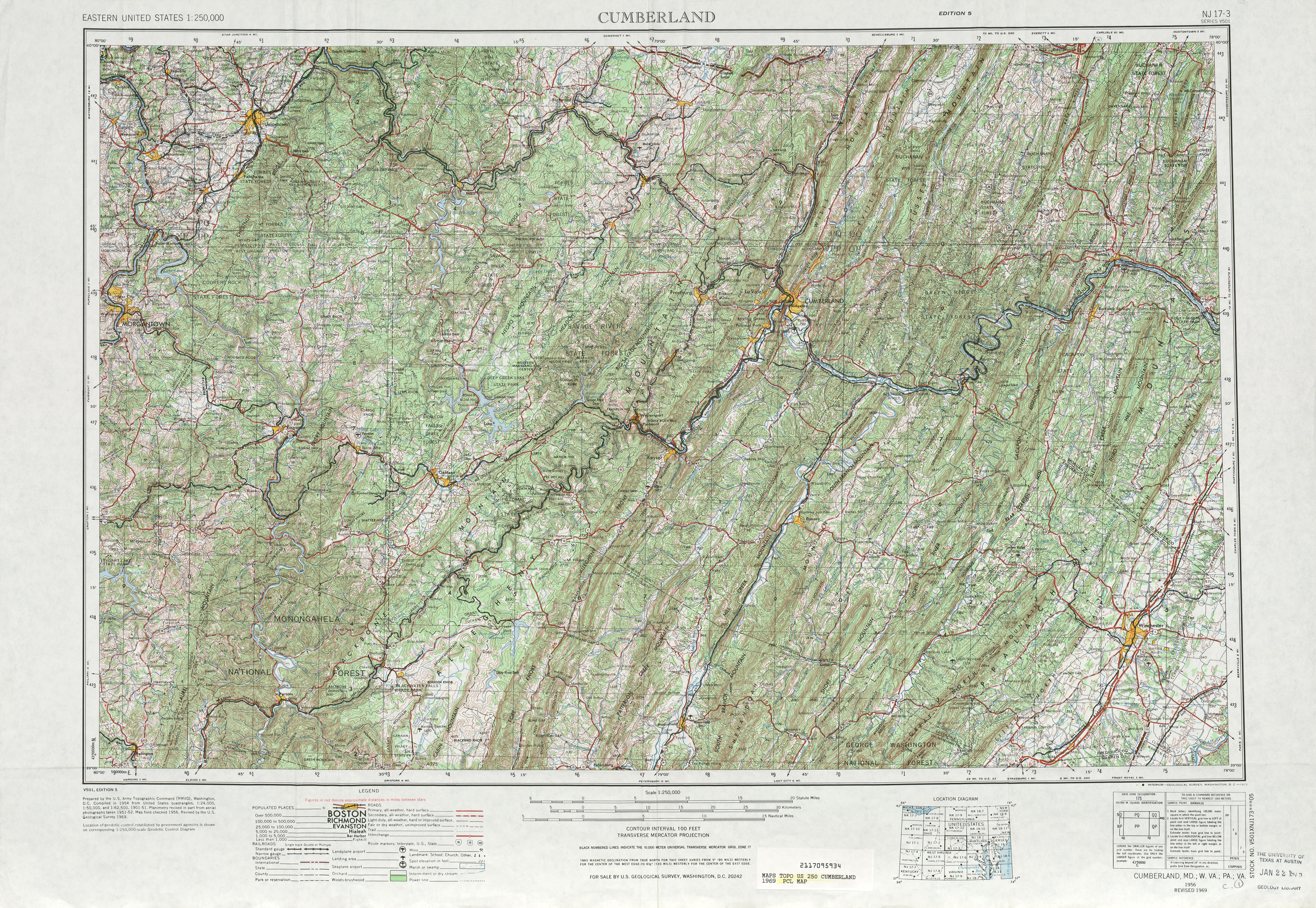
- ^ a b United States Geological Survey, Cumberland, MD.; W. VA.; PA.; VA. (scale 1:250,000), 1956, revised 1969
- ^ Federal Highway Administration, National Bridge Inventory database, 2006
- ^ Winchester Star, Long-Awaited Interchange on Way, September 22, 2000
- ^ Winchester Star, Halseth Enumerates VHS 2001 Growth, May 15, 2002
- ^ Frederick County, Virginia Board of Supervisors, Meeting Minutes of 06/12/2002: "Resolution Re: Changes in the Primary and secondary System Due to relocation, Construction and Right-of-Way Abandonment on Entrance and Exit Ramps on Route 37 at its Intersection with Route 11 North" "Board Meeting Minutes of 06/12/2002". Archived from the original on April 18, 2005. Retrieved October 20, 2007.
{{cite web}}: CS1 maint: bot: original URL status unknown (link)