| Display title | Local tangent plane coordinates |
| Default sort key | Local tangent plane coordinates |
| Page length (in bytes) | 5,679 |
| Namespace ID | 0 |
| Page ID | 5644212 |
| Page content language | en - English |
| Page content model | wikitext |
| Indexing by robots | Allowed |
| Number of page watchers | Fewer than 30 watchers |
| Number of redirects to this page | 8 |
| Counted as a content page | Yes |
| Wikidata item ID | Q10934384 |
| Local description | Geographic coordinate system |
| Central description | geographical coordinate system for representing state vectors that is commonly used in aviation |
| Page image | 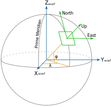 |
| Page views in the past 30 days | |
Page protection
| Edit | Allow all users (no expiry set) |
| Move | Allow all users (no expiry set) |
View the protection log for this page.
Edit history
| Page creator | Et764 (talk | contribs) |
| Date of page creation | 21:52, 20 June 2006 |
| Latest editor | Uhai (talk | contribs) |
| Date of latest edit | 21:15, 27 September 2023 |
| Total number of edits | 64 |
| Recent number of edits (within past 30 days) | 0 |
| Recent number of distinct authors | 0 |
Page properties
| Hidden categories (3) | This page is a member of 3 hidden categories (help):
|
| Transcluded templates (42) | Pages transcluded onto the current version of this page (help):
|
| Wikidata entities used in this page | - north east down
- Sitelink
- Title
- Description: en
|
External tools


