

Size of this preview: 515 × 599 pixels. Other resolutions: 206 × 240 pixels | 412 × 480 pixels | 660 × 768 pixels | 880 × 1,024 pixels | 2,218 × 2,581 pixels.
Original file (2,218 × 2,581 pixels, file size: 2.5 MB, MIME type: image/jpeg)
|
This is an image of a place or building that is listed on the National Register of Historic Places in the United States of America. Its reference number is 66000036. |
| Description |
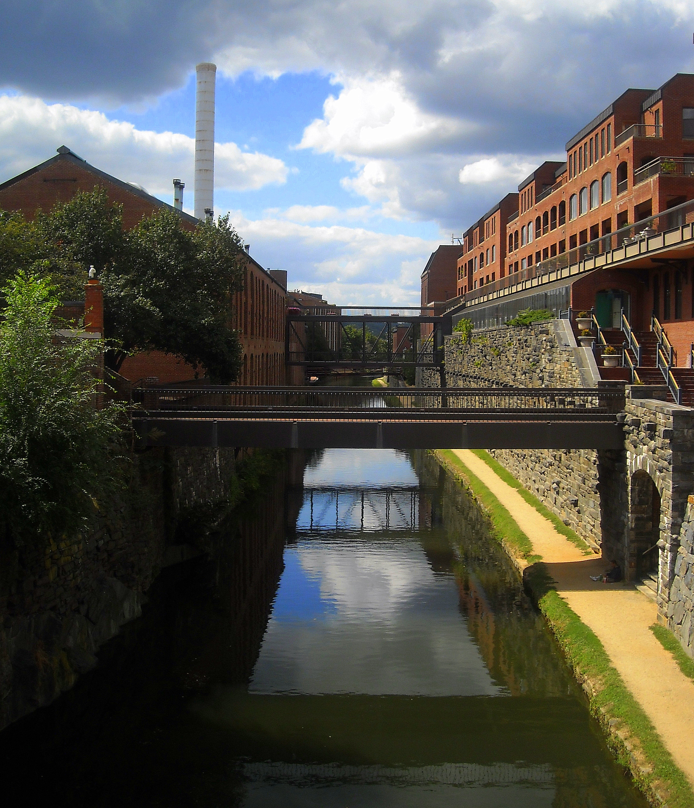
English: The Chesapeake and Ohio Canal, as viewed looking east from the Wisconsin Avenue bridge in the Georgetown neighborhood of Washington, D.C. The Chesapeake and Ohio Canal National Historical Park is listed on the National Register of Historic Places. |
| Date | Taken on 19 September 2008 |
| Source | Own work; transferred to Commons by User:Matthiasb |
| Author | AgnosticPreachersKid |
| Permission (Reusing this file) |
I, the copyright holder of this work, hereby publish it under the following license: This file is licensed under the Creative Commons Attribution-Share Alike 3.0 Unported license.
|
| Other versions | not on this site; my original copy is here |
| Camera location | | View this and other nearby images on: OpenStreetMap |
|---|
File history
Click on a date/time to view the file as it appeared at that time.
| Date/Time | Thumbnail | Dimensions | User | Comment | |
|---|---|---|---|---|---|
| current | 06:20, 10 February 2009 | | 2,218 × 2,581 (2.5 MB) | APK | higher resolution |
| 11:15, 22 January 2009 |  | 430 × 500 (153 KB) | Matthiasb | {{Information |Description={{en|en:C&O Canal in the Georgetown neighborhood of en:Washington, D.C. The canal is a en:National Historic Landmark. The view is looking north from the [[:en:Wisconsin Avenue |
File usage
The following pages on the English Wikipedia use this file (pages on other projects are not listed):
Global file usage
The following other wikis use this file:
- Usage on ar.wikipedia.org
- Usage on de.wikipedia.org
- Usage on en.wikivoyage.org
- Usage on es.wikipedia.org
- Usage on hif.wikipedia.org
- Usage on id.wikipedia.org
- Usage on ja.wikipedia.org
- Usage on pl.wikipedia.org
- Usage on ro.wikipedia.org
- Usage on ru.wikipedia.org
- Usage on test2.wikipedia.org
- Usage on tr.wikipedia.org
- Usage on uk.wikipedia.org
- Usage on vi.wikipedia.org
- Usage on wikimania2012.wikimedia.org
- Washington, D.C./Topography
- Washington, D.C./Topography/en
- Washington, D.C./Topography/ka
- Washington, D.C./Topography/es
- Washington, D.C./Topography/diq
- Washington, D.C./Topography/nl
- Washington, D.C./Topography/az
- Washington, D.C./Topography/tr
- Washington, D.C./Topography/sk
- Washington, D.C./Topography/mk
- Washington, D.C./Topography/de
- Washington, D.C./Topography/pl
- Washington, D.C./Topography/ar