

Size of this preview: 344 × 599 pixels. Other resolutions: 138 × 240 pixels | 275 × 480 pixels | 441 × 768 pixels | 587 × 1,024 pixels | 1,786 × 3,112 pixels.
Original file (1,786 × 3,112 pixels, file size: 7.4 MB, MIME type: image/png)
Summary
| Description |
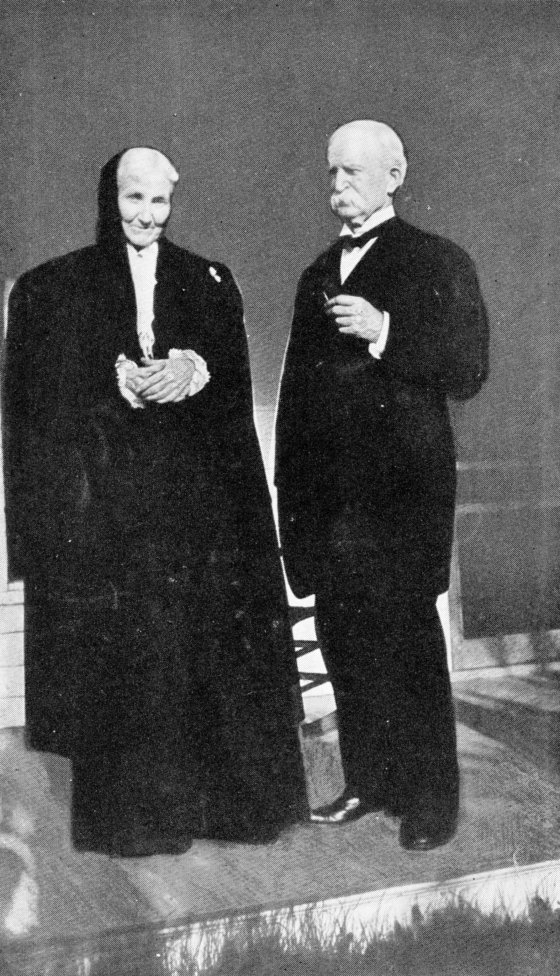
English: James and Clara Weaver, 1908 |
| Date | |
| Source | James Baird Weaver, by Frederick Emory Haynes, 1919, p. 410 |
| Author | Unknown author |
| Camera location | | View this and other nearby images on: OpenStreetMap |
|---|
Licensing
This media file is in the public domain in the United States. This applies to U.S. works where the copyright has expired, often because its first publication occurred prior to January 1, 1929, and if not then due to lack of notice or renewal. See this page for further explanation.
|
 | |
 |
This image might not be in the public domain outside of the United States; this especially applies in the countries and areas that do not apply the rule of the shorter term for US works, such as Canada, Mainland China (not Hong Kong or Macao), Germany, Mexico, and Switzerland. The creator and year of publication are essential information and must be provided. See Wikipedia:Public domain and Wikipedia:Copyrights for more details.
|
File history
Click on a date/time to view the file as it appeared at that time.
| Date/Time | Thumbnail | Dimensions | User | Comment | |
|---|---|---|---|---|---|
| current | 00:31, 6 January 2015 | | 1,786 × 3,112 (7.4 MB) | Coemgenus | Better scanned version |
| 22:34, 27 October 2014 |  | 945 × 1,586 (1.22 MB) | Coemgenus | User created page with UploadWizard |
File usage
The following pages on the English Wikipedia use this file (pages on other projects are not listed):
Global file usage
The following other wikis use this file:
- Usage on ar.wikipedia.org
- Usage on azb.wikipedia.org
- Usage on zh.wikipedia.org