


Size of this preview: 794 × 599 pixels. Other resolutions: 318 × 240 pixels | 636 × 480 pixels | 1,017 × 768 pixels | 1,280 × 966 pixels | 2,560 × 1,933 pixels | 4,073 × 3,075 pixels.
Original file (4,073 × 3,075 pixels, file size: 1.96 MB, MIME type: image/jpeg)
|
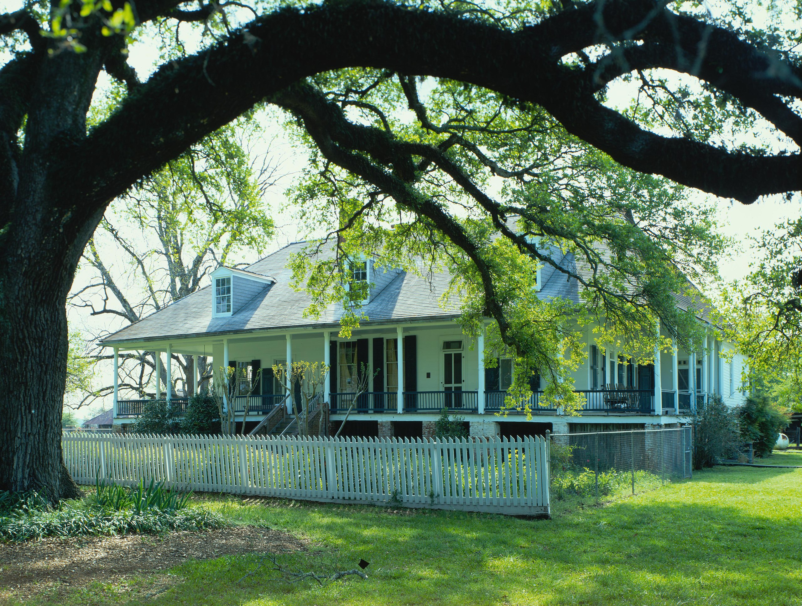
This is an image of a place or building that is listed on the National Register of Historic Places in the United States of America. Its reference number is 79001073. |
| Camera location | | View this and other nearby images on: OpenStreetMap |
|---|
| Description |
English: Front of the plantation house Chretien Point Plantation House, located at 4386 Louisiana Highway 494 near Natchez in Natchitoches Parish, Louisiana, United States. Built in 1818, it is a National Historic Landmark. |
|||||
| Date | Unknown date | |||||
| Source | Library of Congress, Prints and Photograph Division HABS: LA,35-BERM,2-16 | |||||
| Author | Unknown author | |||||
| Permission (Reusing this file) |
|


|
This image is available from the United States Library of Congress's Prints and Photographs division
under the digital ID hhh.la0242. This tag does not indicate the copyright status of the attached work. A normal copyright tag is still required. See Commons:Licensing.
|
File history
Click on a date/time to view the file as it appeared at that time.
| Date/Time | Thumbnail | Dimensions | User | Comment | |
|---|---|---|---|---|---|
| current | 02:02, 22 January 2010 | | 4,073 × 3,075 (1.96 MB) | Nyttend | {{Location|31|39|54|N|93|0|12|W}} {{Information |Description={{en|Front of the plantation house {{w|Chretien Point Plantation|Chretien Point Plantation House}}, located at 4386 Louisiana Highway 494 near {{w|Natchez, Louisiana|Natchez}} in {{w|Natchitoche |
File usage
The following pages on the English Wikipedia use this file (pages on other projects are not listed):
Global file usage
The following other wikis use this file:
- Usage on de.wikipedia.org
- Usage on it.wikipedia.org