

The Kuoyka or Kuoika (Russian: Куойка; Yakut: Куойка) is a river in Yakutia (Sakha Republic), Russian Federation. It is a tributary of the Olenyok with a length of 294 kilometres (183 mi) and a drainage basin area of 4,750 square kilometres (1,830 sq mi).[1] The Kuoyka flows north of the Arctic Circle across a lonely, desolate area of the Olenyoksky District devoid of settlements.[2]
The name of the river comes from the Nganasan word "kuoika", (куойка), meaning a household deity.[3]
Course
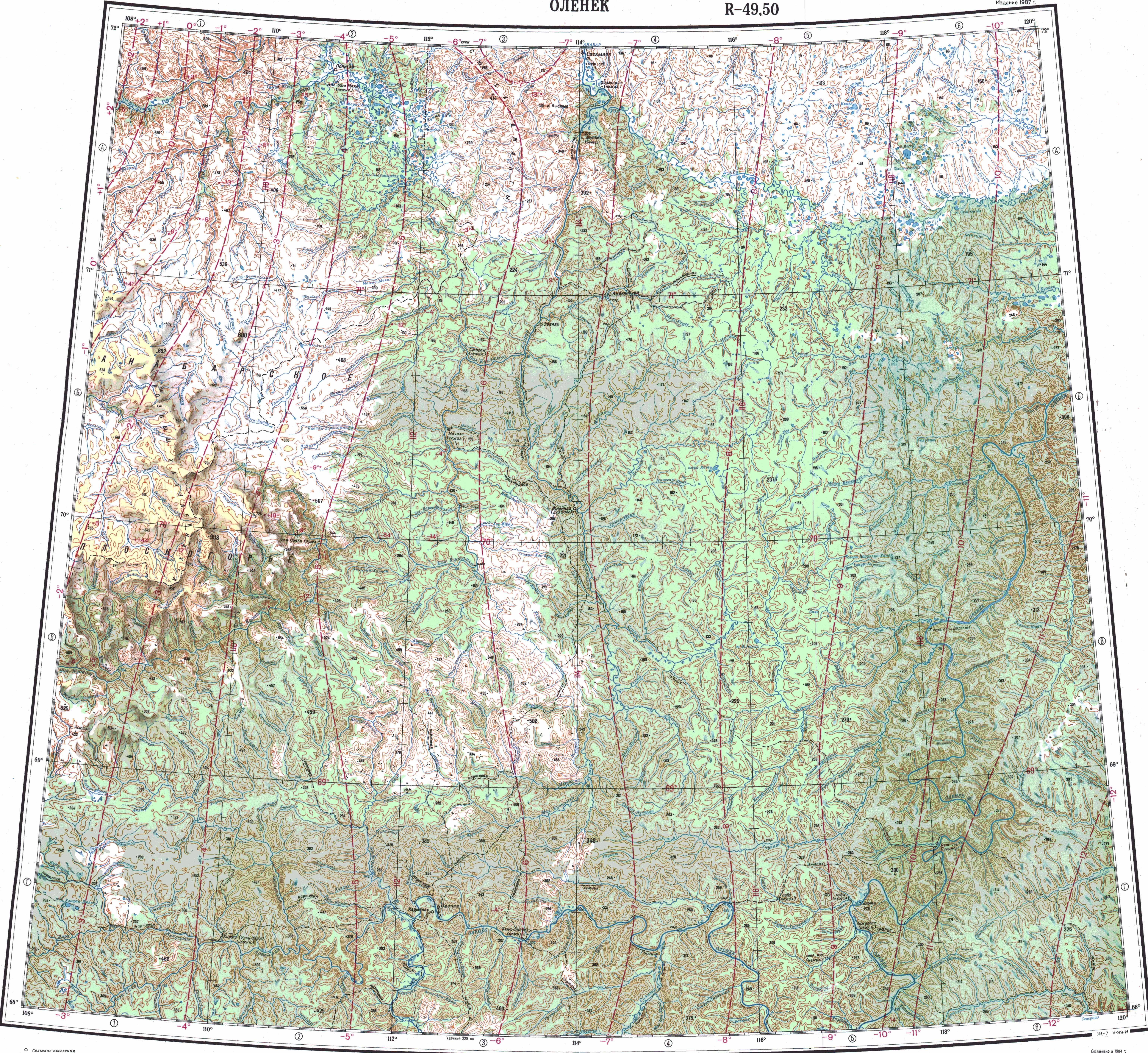
The Kuoika is a left tributary of the Olenyok. Its sources are at the limit of the Northern Siberian Lowland, off the northeastern end of the Central Siberian Plateau.[4] It flows roughly eastwards to the southwest and south of the Beyenchime in an area with numerous lakes. In its last stretch the Kuoika turns in a SSE direction entering the Central Siberian Plateau area. It meanders strongly in its southernmost section within a wide gorge until it meets the left bank of the Olenyok 473 km (294 mi) from its mouth.[2][5][6]
The river is frozen between early October and early June.[4] Its main tributary is the 169 kilometres (105 mi) long Sektelyakh from the right. Other tributaries are much shorter, such as the 42 kilometres (26 mi) long Kuchchugui-Kuoyka, the 39 kilometres (24 mi) long Kusagan-Khayalakh and the 36 kilometres (22 mi) long Oyur from the left.[1]
Quote
The last, tortuous stretch of the river was described in such terms by Yuri Tsenin in Vokrug sveta:
Its channel bends so whimsically in a wide canyon that sometimes one can't understand in which direction it flows. We are surrounded by lemon-yellow mountains. The shores of the Kuoika rise above the water as a fortified wall with odd-looking towers and ramparts.[7]
See also
References
- ^ a b "Река Куойка in the State Water Register of Russia". textual.ru (in Russian).
- ^ a b Google Earth
- ^ [Сюлбэ Б. Топонимика Якутии, Yakutsk 2004, p. 75
- ^ a b nature.ykt.ru (Силигир)
- ^ "Топографска карта R-49 50; M 1:1 000 000 - Topographic USSR Chart (in Russian)". Retrieved 21 April 2022.
- ^ "Топографска карта R-51 52; M 1:1 000 000 - Topographic USSR Chart (in Russian)". Retrieved 21 April 2022.
- ^ СТАТЬИ ЖУРНАЛА «ВОКРУГ СВЕТА» - На заполярной Куойке (January 1979)