

Size of this preview: 800 × 600 pixels. Other resolutions: 320 × 240 pixels | 640 × 480 pixels | 1,024 × 768 pixels | 1,280 × 960 pixels | 2,560 × 1,920 pixels | 4,224 × 3,168 pixels.
Original file (4,224 × 3,168 pixels, file size: 1.98 MB, MIME type: image/jpeg)
Summary
| Description |
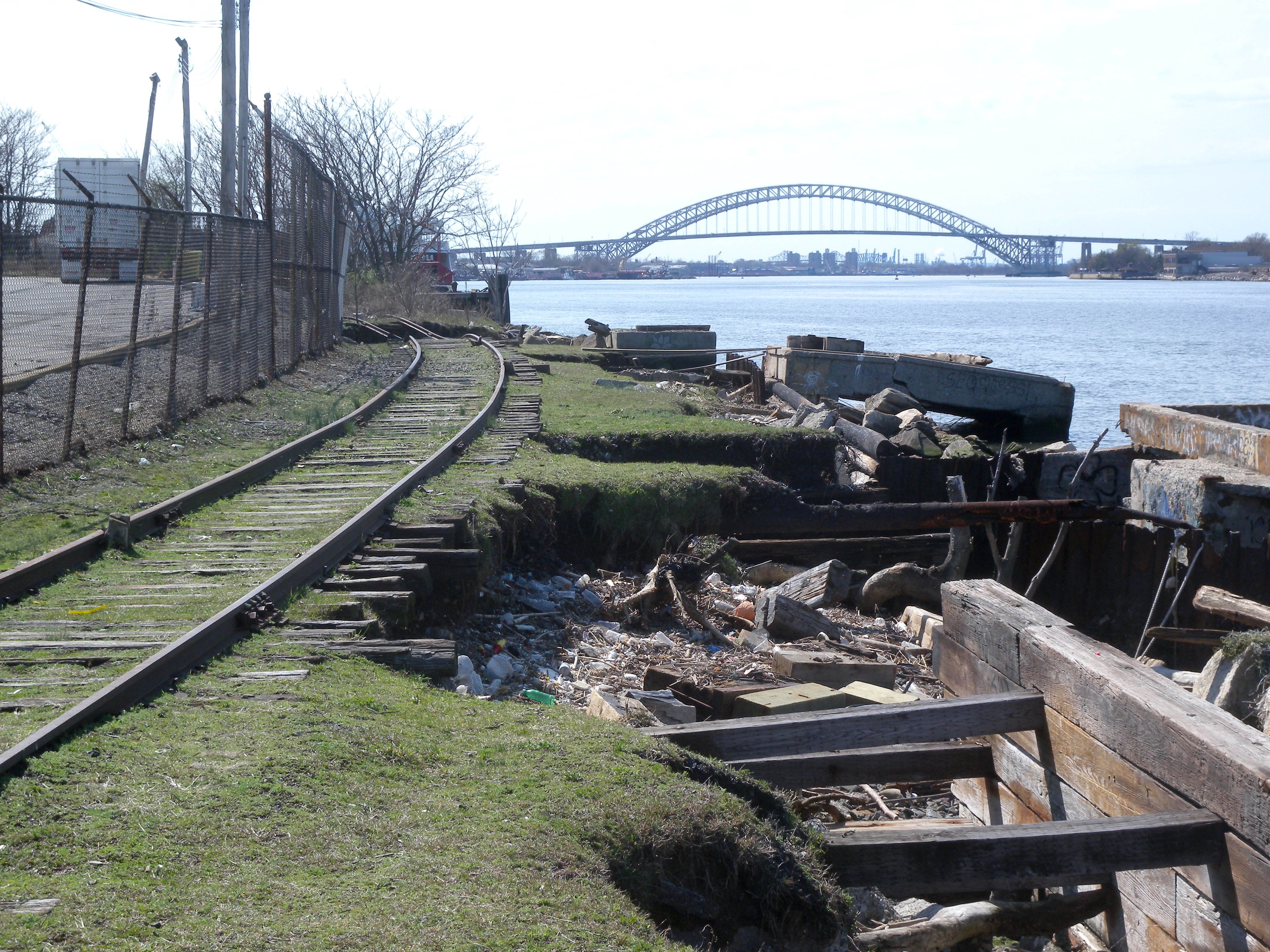
English: Looking west from west of Bard Avenue, at SIRT tracks and Bayonne Bridge on a sunny midday. |
| Date | Taken on 4 April 2010 |
| Source | Own work |
| Author | Jim.henderson |
| Camera location | | View this and other nearby images on: OpenStreetMap |
|---|
Licensing
| This file is made available under the Creative Commons CC0 1.0 Universal Public Domain Dedication. | |
| The person who associated a work with this deed has dedicated the work to the public domain by waiving all of their rights to the work worldwide under copyright law, including all related and neighboring rights, to the extent allowed by law. You can copy, modify, distribute and perform the work, even for commercial purposes, all without asking permission.
|
File history
Click on a date/time to view the file as it appeared at that time.
| Date/Time | Thumbnail | Dimensions | User | Comment | |
|---|---|---|---|---|---|
| current | 14:34, 18 May 2010 | | 4,224 × 3,168 (1.98 MB) | Jim.henderson | {{Information |Description={{en|1=Looking west from west of Bard Avenue, at SIRT tracks and Bayonne Bridge on a sunny midday. Category:Staten Island Railway}} |Source={{own}} |Author=Jim.henderson |Date=2010-04-04 |Permission= | |
File usage
The following pages on the English Wikipedia use this file (pages on other projects are not listed):
- History of the Staten Island Railway
- Hudson–Bergen Light Rail
- Livingston station (Staten Island Railway)
- North Shore Branch
- Staten Island Economic Development Corporation
- Staten Island Railway
- Staten Island light rail
- User:Kew Gardens 613/sandbox 13
- Portal:Trains/Selected article/2017 archive
- Portal:Trains/Selected article/Week 19, 2017