

Size of this preview: 292 × 598 pixels. Other resolutions: 117 × 240 pixels | 234 × 480 pixels | 772 × 1,581 pixels.
Original file (772 × 1,581 pixels, file size: 206 KB, MIME type: image/jpeg)
Summary
| Description |
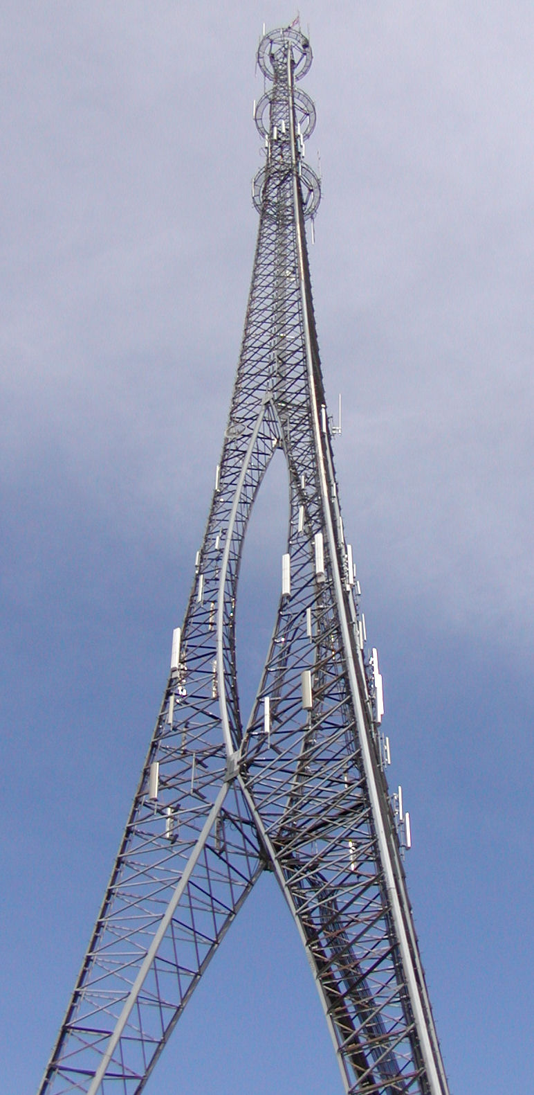
English: TeleCourier tower in Bloomington, Illinois: 520 N. Center St. (Business Route U.S. 51) just south of Locust St. (U.S. Route 150/Illinois Route 9). Height: 127.4 meters (418 ft) |
||
| Date | |||
| Source | Own work | ||
| Author | William Wesen (User:Appraiser) | ||
| Permission (Reusing this file) |
I, the copyright holder of this work, hereby publish it under the following licenses: This file is licensed under the Creative Commons Attribution-Share Alike 3.0 Unported license.
You may select the license of your choice. |

| Object location | | View this and other nearby images on: OpenStreetMap |
|---|
File history
Click on a date/time to view the file as it appeared at that time.
| Date/Time | Thumbnail | Dimensions | User | Comment | |
|---|---|---|---|---|---|
| current | 19:10, 29 June 2008 | | 772 × 1,581 (206 KB) | Appraiser | {{Information |Description={{en|1=Big tower in en:Bloomington, Illinois}} |Source=Own work by uploader |Author=Appraiser |Date=2008-06-28 |Permission= |other_versions= }} {{ImageUpload|full}} Category:Bloomington, Illinois [[C |
File usage
The following pages on the English Wikipedia use this file (pages on other projects are not listed):
Global file usage
The following other wikis use this file:
- Usage on de.wikipedia.org
- Usage on ja.wikipedia.org
- Usage on zh-yue.wikipedia.org