

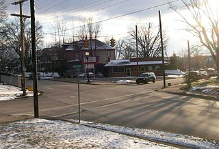
Size of this preview: 800 × 545 pixels. Other resolutions: 320 × 218 pixels | 640 × 436 pixels | 1,024 × 697 pixels | 1,280 × 871 pixels | 1,641 × 1,117 pixels.
Original file (1,641 × 1,117 pixels, file size: 322 KB, MIME type: image/jpeg)
Summary
|
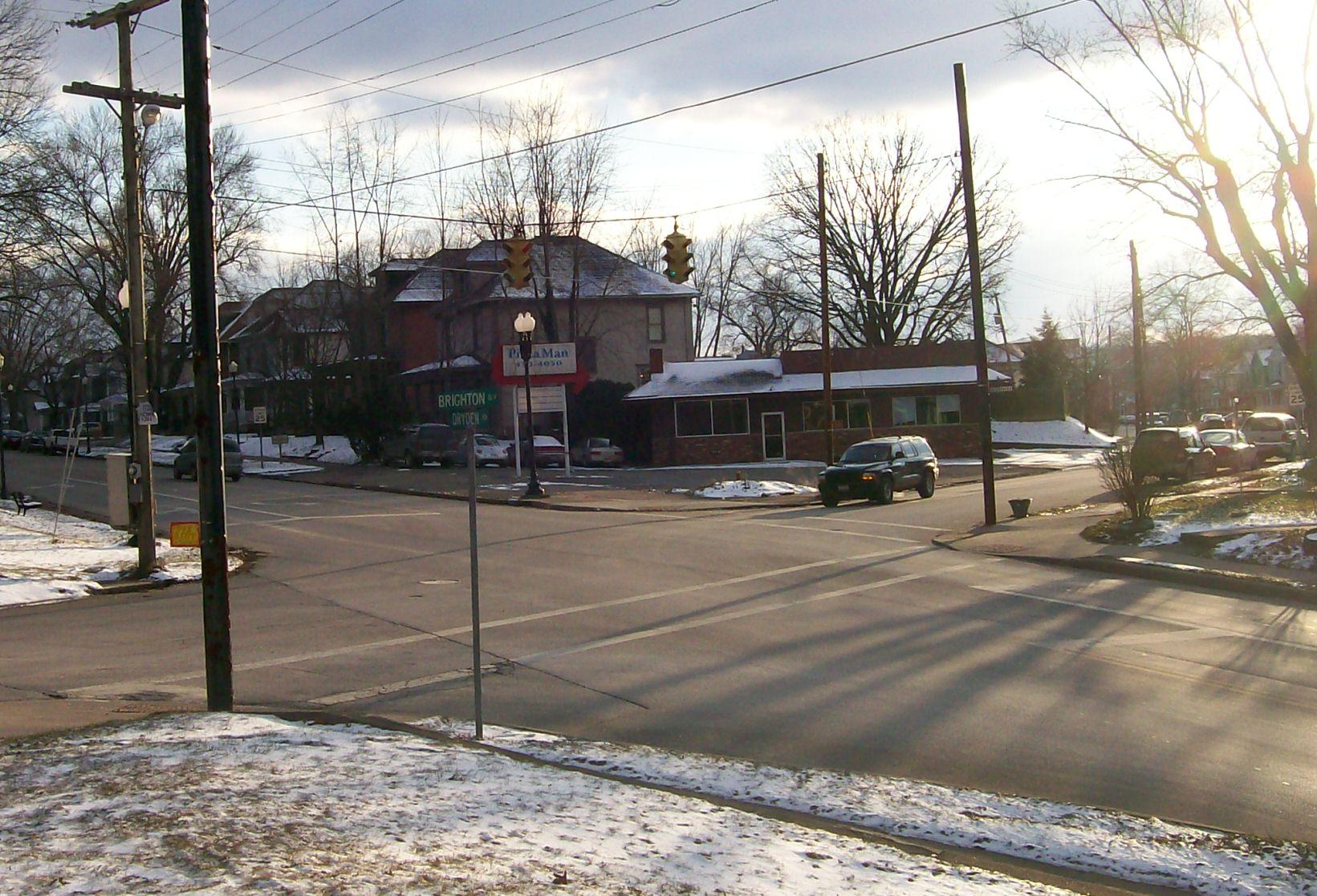
This is an image of a place or building that is listed on the National Register of Historic Places in the United States of America. Its reference number is 82003624. |
| Description |
English: The Brighton-Drydon Historic District at the junction of the two roads, looking Southwest. |
| Date | (UTC) |
| Source | Own work (Original text: I (Bwsmith84 (talk)) created this work entirely by myself.) |
| Author | Bwsmith84 (talk) |
| Object location | | View this and other nearby images on: OpenStreetMap |
|---|
Licensing
Bwsmith84 at English Wikipedia, the copyright holder of this work, hereby publishes it under the following license:
This file is licensed under the Creative Commons Attribution 3.0 Unported license.
Attribution: Bwsmith84 at English Wikipedia
- You are free:
- to share – to copy, distribute and transmit the work
- to remix – to adapt the work
- Under the following conditions:
- attribution – You must give appropriate credit, provide a link to the license, and indicate if changes were made. You may do so in any reasonable manner, but not in any way that suggests the licensor endorses you or your use.
Original upload log
Transferred from en.wikipedia to Commons by Sreejithk2000 using CommonsHelper.
The original description page was here. All following user names refer to en.wikipedia.
- 2010-01-29 02:45 Bwsmith84 1641×1117× (329678 bytes) {{Information |Description = The Brighton-Drydon Historic District at the junction of the two roads, looking Southwest. |Source = I (~~~) created this work entirely by myself. |Date = ~~~~~ |Author = ~~~ |other_versions =
File history
Click on a date/time to view the file as it appeared at that time.
| Date/Time | Thumbnail | Dimensions | User | Comment | |
|---|---|---|---|---|---|
| current | 02:26, 2 June 2010 | | 1,641 × 1,117 (322 KB) | File Upload Bot (Magnus Manske) | {{BotMoveToCommons|en.wikipedia|year={{subst:CURRENTYEAR}}|month={{subst:CURRENTMONTHNAME}}|day={{subst:CURRENTDAY}}}} {{Information |Description={{en|The Brighton-Drydon Historic District at the junction of the two roads, looking Southwest.}} |Source=Tr |
File usage
The following pages on the English Wikipedia use this file (pages on other projects are not listed):