

Size of this preview: 566 × 599 pixels. Other resolutions: 227 × 240 pixels | 453 × 480 pixels | 813 × 861 pixels.
Original file (813 × 861 pixels, file size: 207 KB, MIME type: image/jpeg)
Summary
| Description |
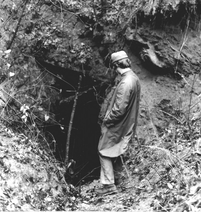
English: Calhoun Mine, Lumpkin County, Georgia.
|
||
| Date | |||
| Source | http://pdfhost.focus.nps.gov/docs/NRHP/Photos/73002292.pdf | ||
| Author | National Park Service |
| Camera location | | View this and other nearby images on: OpenStreetMap |
|---|
Licensing
| This image or media file contains material based on a work of a National Park Service employee, created as part of that person's official duties. As a work of the U.S. federal government, such work is in the public domain in the United States. See the NPS website and NPS copyright policy for more information. |
File history
Click on a date/time to view the file as it appeared at that time.
| Date/Time | Thumbnail | Dimensions | User | Comment | |
|---|---|---|---|---|---|
| current | 23:49, 15 December 2015 | | 813 × 861 (207 KB) | Magicpiano | User created page with UploadWizard |
File usage
The following pages on the English Wikipedia use this file (pages on other projects are not listed):
Global file usage
The following other wikis use this file:
- Usage on arz.wikipedia.org
- Usage on ceb.wikipedia.org
- Usage on de.wikipedia.org
- Usage on fr.wikipedia.org
- Usage on www.wikidata.org