


Size of this PNG preview of this SVG file: 661 × 599 pixels. Other resolutions: 265 × 240 pixels | 529 × 480 pixels | 847 × 768 pixels | 1,129 × 1,024 pixels | 2,259 × 2,048 pixels | 868 × 787 pixels.
Original file (SVG file, nominally 868 × 787 pixels, file size: 1.7 MB)
Summary
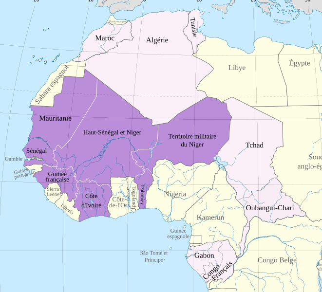
| Description | Carte de l'Afrique-Occidentale française en l'an 1914 | ||
| Date | |||
| Source | Africa map 1914.svg | ||
| Author | Hogweard | ||
| Permission (Reusing this file) |
|
File history
Click on a date/time to view the file as it appeared at that time.
| Date/Time | Thumbnail | Dimensions | User | Comment | |
|---|---|---|---|---|---|
| current | 00:01, 21 April 2024 | | 868 × 787 (1.7 MB) | GrandEscogriffe | corrections de langue |
| 23:02, 13 December 2023 |  | 868 × 787 (1.7 MB) | Hogweard | == {{int:filedesc}} == {{Information |Description=Carte de l'Afrique-Occidentale française en l'an 1914 |Source={{f|Africa map 1914.svg}} |Date=2023-12-12 |Author={{u|Hogweard}} |Permission={{PD-self}} |other_versions= }} Category:SVG maps showing history of Africa Category:Maps of 20th-century Africa Category:French-language SVG maps of Africa Category:Maps of French West Africa |
File usage
The following pages on the English Wikipedia use this file (pages on other projects are not listed):
Global file usage
The following other wikis use this file:
- Usage on ca.wikipedia.org
- Usage on es.wikipedia.org
- Usage on fr.wikipedia.org
- Usage on mt.wikipedia.org
- Usage on pl.wikipedia.org
- Usage on ru.wikipedia.org
- Usage on www.wikidata.org