


Size of this preview: 800 × 532 pixels. Other resolutions: 320 × 213 pixels | 640 × 426 pixels | 1,024 × 681 pixels | 1,280 × 851 pixels | 2,560 × 1,702 pixels | 6,016 × 4,000 pixels.
Original file (6,016 × 4,000 pixels, file size: 6.34 MB, MIME type: image/jpeg)
|
This is an image of a place or building that is listed on the National Register of Historic Places in the United States of America. Its reference number is 00000023. |
| Camera location | | View this and other nearby images on: OpenStreetMap |
|---|
| Description |
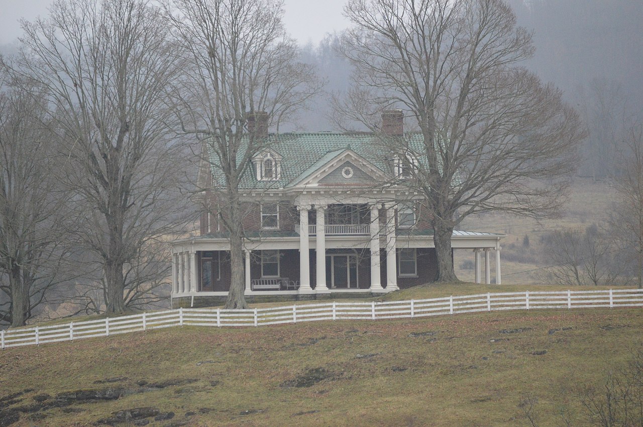
English: Front of Carter Hill, located on the southern side of State Route 71 west of Lebanon in Russell County, Virginia, United States. Built in 1922, it is listed on the National Register of Historic Places. |
||
| Date | Taken on 11 February 2017 | ||
| Source | Own work | ||
| Author | Nyttend | ||
| Permission (Reusing this file) |
|
File history
Click on a date/time to view the file as it appeared at that time.
| Date/Time | Thumbnail | Dimensions | User | Comment | |
|---|---|---|---|---|---|
| current | 14:54, 18 February 2017 | | 6,016 × 4,000 (6.34 MB) | Nyttend | {{NRHP|00000023}} {{Location|36|52|42|N|82|9|34|W}} {{Information |Description={{en|Front of {{w|Carter Hill (Lebanon, Virginia)|Carter Hill}}, located on the southern side of {{w|Virginia State Route 71|State Route 71}} west of {{w|Lebanon, Virginia|L... |
File usage
The following pages on the English Wikipedia use this file (pages on other projects are not listed):
Global file usage
The following other wikis use this file:
- Usage on www.wikidata.org