


Size of this preview: 800 × 600 pixels. Other resolutions: 320 × 240 pixels | 640 × 480 pixels | 1,024 × 768 pixels.
Original file (1,024 × 768 pixels, file size: 232 KB, MIME type: image/jpeg)
|
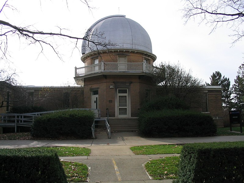
This is an image of a place or building that is listed on the National Register of Historic Places in the United States of America. Its reference number is 86003155. |
University of Illinois Observatory
*Description: Fotos from the Champaign-Urbana, Illinois area.
*Source: Dori
*License: Dual GFDL CC

|
Permission is granted to copy, distribute and/or modify this document under the terms of the GNU Free Documentation License, Version 1.2 or any later version published by the Free Software Foundation; with no Invariant Sections, no Front-Cover Texts, and no Back-Cover Texts. A copy of the license is included in the section entitled GNU Free Documentation License. |
| This file is licensed under the Creative Commons Attribution-Share Alike 3.0 Unported license. | ||
| ||
| This licensing tag was added to this file as part of the GFDL licensing update. |
This file is licensed under the Creative Commons Attribution 2.0 Generic license.
- You are free:
- to share – to copy, distribute and transmit the work
- to remix – to adapt the work
- Under the following conditions:
- attribution – You must give appropriate credit, provide a link to the license, and indicate if changes were made. You may do so in any reasonable manner, but not in any way that suggests the licensor endorses you or your use.
| Object location | | View this and other nearby images on: OpenStreetMap |
|---|
File history
Click on a date/time to view the file as it appeared at that time.
| Date/Time | Thumbnail | Dimensions | User | Comment | |
|---|---|---|---|---|---|
| current | 04:32, 16 April 2005 | | 1,024 × 768 (232 KB) | File Upload Bot (Dori) |
File usage
The following pages on the English Wikipedia use this file (pages on other projects are not listed):
Global file usage
The following other wikis use this file:
- Usage on arz.wikipedia.org
- Usage on de.wikipedia.org
- Usage on en.wikiversity.org
- Usage on es.wikipedia.org
- Usage on fr.wikipedia.org
- Wikipédia:Sélection
- Wikipédia:Sélection/Éducation
- Portail:Astronautique/Lumière sur/avril 2007
- Observatoire astronomique de l'université de l'Illinois
- Portail:Astronautique/Lumière sur/janvier 2008
- Wikipédia:Sélection/Architecture et Urbanisme
- Utilisateur:XIIIfromTOKYO
- Utilisateur:MG/Page20
- Wikipédia:Sélection/Illinois
- Wikipédia:Lumière sur/Novembre 2010
- Wikipédia:Lumière sur/Observatoire astronomique de l'université de l'Illinois
- Wikipédia:Sélection/Université
- Wikipédia:Sélection/Universités américaines
- Wikipédia:Sélection/Astronomie
- Wikipédia:Sélection/États-Unis/Bons articles/Partie III
- Wikipédia:Sélection/Planétoïde
- Wikipédia:Sélection/Système solaire
- Wikipédia:Sélection/Registre national des lieux historiques
- Usage on it.wikipedia.org
- Usage on nn.wikipedia.org
- Usage on no.wikipedia.org
- Usage on pt.wikipedia.org
- Usage on www.wikidata.org