


Size of this preview: 800 × 600 pixels. Other resolutions: 320 × 240 pixels | 640 × 480 pixels | 1,024 × 768 pixels | 1,280 × 960 pixels | 2,048 × 1,536 pixels.
Original file (2,048 × 1,536 pixels, file size: 580 KB, MIME type: image/jpeg)
|
This is an image of a place or building that is listed on the National Register of Historic Places in the United States of America. Its reference number is 76000221. |
Summary
| Description |
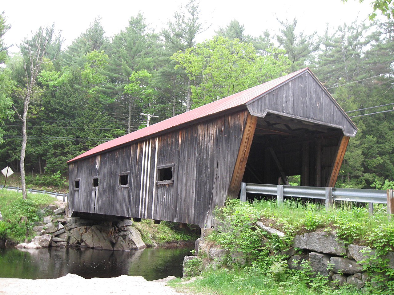
English: Dalton Covered Bridge over Warner River, Warner, New Hampshire. Photo by Ken Gallager, May 28, 2011. |
| Date | 29 May 2011 (original upload date) |
| Source |
Own work Transferred from en.wikipedia |
| Author | Ken Gallager at en.wikipedia |
| Object location | | View this and other nearby images on: OpenStreetMap |
|---|
Licensing
Ken Gallager at en.wikipedia, the copyright holder of this work, hereby publishes it under the following license:
This file is licensed under the Creative Commons Attribution-Share Alike 3.0 Unported license.
Attribution: Ken Gallager at en.wikipedia
- You are free:
- to share – to copy, distribute and transmit the work
- to remix – to adapt the work
- Under the following conditions:
- attribution – You must give appropriate credit, provide a link to the license, and indicate if changes were made. You may do so in any reasonable manner, but not in any way that suggests the licensor endorses you or your use.
- share alike – If you remix, transform, or build upon the material, you must distribute your contributions under the same or compatible license as the original.
Original upload log
The original description page was here. All following user names refer to en.wikipedia.
- 2011-05-29 12:28 Ken Gallager 2048×1536 (593685 bytes) Dalton Covered Bridge over [[Warner River]], [[Warner, New Hampshire]]. Photo by Ken Gallager, May 28, 2011.
File history
Click on a date/time to view the file as it appeared at that time.
| Date/Time | Thumbnail | Dimensions | User | Comment | |
|---|---|---|---|---|---|
| current | 19:29, 8 January 2012 | | 2,048 × 1,536 (580 KB) | BotMultichillT | {{BotMoveToCommons|en.wikipedia|year={{subst:CURRENTYEAR}}|month={{subst:CURRENTMONTHNAME}}|day={{subst:CURRENTDAY}}}} == {{int:filedesc}} == {{Information |description={{en|1=Dalton Covered Bridge over Warner River, [[:en:Warner, Ne |
File usage
The following pages on the English Wikipedia use this file (pages on other projects are not listed):
Global file usage
The following other wikis use this file:
- Usage on pt.wikipedia.org
- Usage on www.wikidata.org