


Size of this preview: 800 × 600 pixels. Other resolutions: 320 × 240 pixels | 640 × 480 pixels | 1,024 × 768 pixels | 1,280 × 960 pixels | 2,560 × 1,920 pixels | 5,184 × 3,888 pixels.
Original file (5,184 × 3,888 pixels, file size: 2.24 MB, MIME type: image/jpeg)
Summary
| Description |
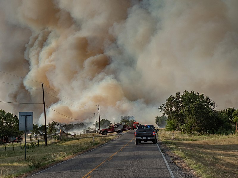
English: Palo Pinto County first responders close roads near the Dempsey Fire.
Photo by Texas A&M Forest Service |
| Date | |
| Source | https://www.flickr.com/photos/nifc/52230132276/ |
| Author | National Interagency Fire Center |
Licensing
| This image was originally posted to Flickr by National Interagency Fire Center at https://flickr.com/photos/165415395@N07/52230132276. It was reviewed on 5 December 2023 by FlickreviewR 2 and was confirmed to be licensed under the terms of the Public Domain Mark. |
| This image is a work of a Bureau of Land Management* employee, taken or made as part of that person's official duties. As a work of the U.S. federal government, the image is in the public domain in the United States. *or predecessor organization |
File history
Click on a date/time to view the file as it appeared at that time.
| Date/Time | Thumbnail | Dimensions | User | Comment | |
|---|---|---|---|---|---|
| current | 03:22, 14 August 2022 | | 5,184 × 3,888 (2.24 MB) | Blythwood | Uploaded a work by National Interagency Fire Center from https://www.flickr.com/photos/nifc/52230132276/ with UploadWizard |
File usage
The following pages on the English Wikipedia use this file (pages on other projects are not listed):