

No higher resolution available.
Garrett_County_Maryland_300x360.png (297 × 353 pixels, file size: 154 KB, MIME type: image/png)
Summary
| Description | |
| Source | |
| Author |
Licensing
This image or file is a work of a United States Census Bureau employee, taken or made as part of that person's official duties. As a work of the U.S. federal government, the image is in the public domain.
|
 |
Original upload log
The original description page was here. All following user names refer to en.wikipedia.
Upload date | User | Bytes | Dimensions | Comment
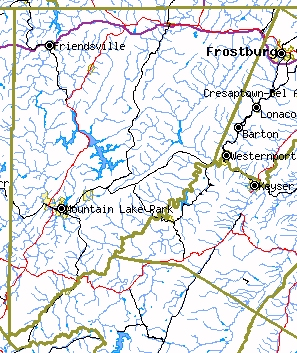
- 2008-07-21 19:35 (UTC) | 718 Bot | 157819 (bytes) | 297×353 | Garrett County, MD from Census Bureau Tiger map server {{PD-USGov}} {{artifacts}} ==History of Image:Garrett County Maryland 300x360.jpg== *2006-04-18T18:13:10Z [[Bkell]] ([[Talk]] | [[contribs]])
File history
Click on a date/time to view the file as it appeared at that time.
| Date/Time | Thumbnail | Dimensions | User | Comment | |
|---|---|---|---|---|---|
| current | 21:34, 12 January 2012 | | 297 × 353 (154 KB) | Ronhjones | (Original text) : Garrett County, MD from Census Bureau Tiger map server {{PD-USGov}} {{artifacts}} ==History of Image:Garrett County Maryland 300x360.jpg== *2006-04-18T18:13:10Z Bkell (Talk | contribs) |
File usage
The following pages on the English Wikipedia use this file (pages on other projects are not listed):
Global file usage
The following other wikis use this file:
- Usage on ja.wikipedia.org
- Usage on nl.wikipedia.org