


Size of this preview: 769 × 599 pixels. Other resolutions: 308 × 240 pixels | 616 × 480 pixels | 985 × 768 pixels | 1,280 × 998 pixels | 2,412 × 1,880 pixels.
Original file (2,412 × 1,880 pixels, file size: 1 MB, MIME type: image/jpeg)
Summary
| Description |
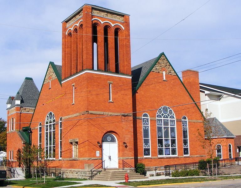
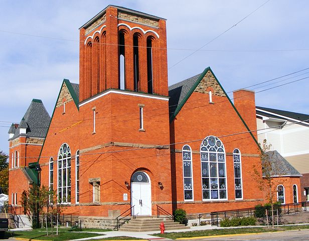
English: Griswold Civic Center Historic District. The Griswold Civic Center Historic District is a small district containing eight civic and church buildings and forming a broad, U-shaped form about the west end of the county's courthouse square (the courthouse itself is a modern structure). It includes properties on Walnut, Trowbridge, and Hubbard Streets. The district serves as a buffer between the downtown and the west-side residential district. To the south is the Kalamazoo River.
|
||
| Date | Taken on 28 September 2013, 16:20:59 | ||
| Source | Own work | ||
| Author | Alwen7 |
| Camera location | | View this and other nearby images on: OpenStreetMap |
|---|
Licensing
I, the copyright holder of this work, hereby publish it under the following license:
This file is licensed under the Creative Commons Attribution-Share Alike 3.0 Unported license.
- You are free:
- to share – to copy, distribute and transmit the work
- to remix – to adapt the work
- Under the following conditions:
- attribution – You must give appropriate credit, provide a link to the license, and indicate if changes were made. You may do so in any reasonable manner, but not in any way that suggests the licensor endorses you or your use.
- share alike – If you remix, transform, or build upon the material, you must distribute your contributions under the same or compatible license as the original.

|
This image was uploaded as part of Wiki Loves Monuments 2013.
|
 |
File history
Click on a date/time to view the file as it appeared at that time.
| Date/Time | Thumbnail | Dimensions | User | Comment | |
|---|---|---|---|---|---|
| current | 02:38, 1 October 2013 | | 2,412 × 1,880 (1 MB) | Alwen7 | User created page with UploadWizard |
File usage
The following pages on the English Wikipedia use this file (pages on other projects are not listed):
Global file usage
The following other wikis use this file:
- Usage on www.wikidata.org