

Original file (4,000 × 3,000 pixels, file size: 1.88 MB, MIME type: image/jpeg)
Summary
| Description |
English: Seguir
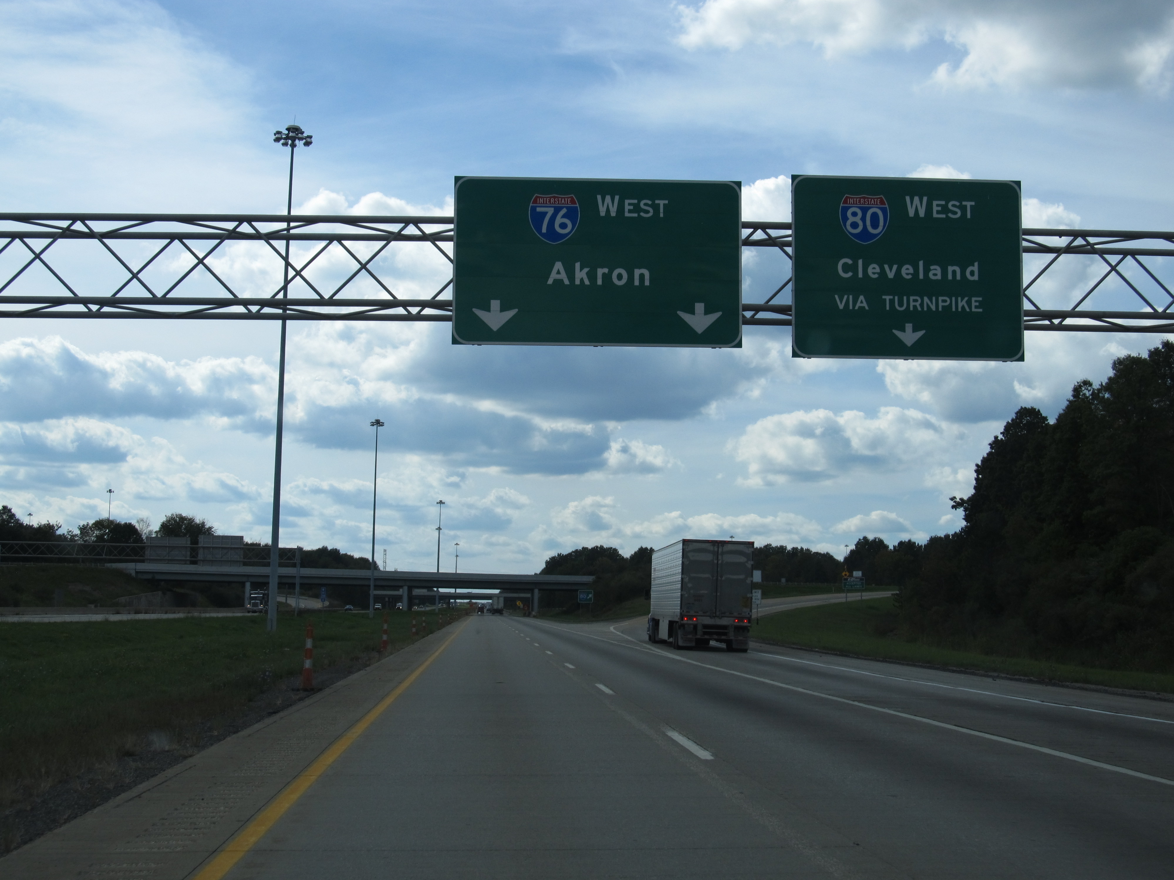
Junction of I-80 and I-76 Near Youngstown, Ohio Interstate 76 (I-76) is an Interstate Highway in the United States, running 435 miles (700 km) from an interchange with Interstate 71 west of Akron, Ohio, east to Interstate 295 near Camden, New Jersey. Just west of Youngstown, I-76 joins the Ohio Turnpike and heads around the south side of Youngstown. In Pennsylvania, I-76 runs across most of the state on the Pennsylvania Turnpike, passing near Pittsburgh and Harrisburg before leaving the Turnpike to enter Philadelphia on the Schuylkill Expressway, crossing the Walt Whitman Bridge into New Jersey. After Interstate 76 reaches its eastern terminus, the freeway continues as Route 42 and the Atlantic City Expressway to Atlantic City. en.wikipedia.org/wiki/Interstate_76_(east) en.wikipedia.org/wiki/Wikipedia:Text_of_Creative_Commons_... |
| Date | |
| Source | Flickr |
| Author | Ken Lund |
| Camera location | | View this and other nearby images on: OpenStreetMap |
|---|
Licensing
| This image was originally posted to Flickr by Ken Lund at https://flickr.com/photos/75683070@N00/7992968569. It was reviewed on 26 September 2017 by FlickreviewR and was confirmed to be licensed under the terms of the cc-by-sa-2.0. |
- You are free:
- to share – to copy, distribute and transmit the work
- to remix – to adapt the work
- Under the following conditions:
- attribution – You must give appropriate credit, provide a link to the license, and indicate if changes were made. You may do so in any reasonable manner, but not in any way that suggests the licensor endorses you or your use.
- share alike – If you remix, transform, or build upon the material, you must distribute your contributions under the same or compatible license as the original.
File history
Click on a date/time to view the file as it appeared at that time.
| Date/Time | Thumbnail | Dimensions | User | Comment | |
|---|---|---|---|---|---|
| current | 13:30, 26 September 2017 | | 4,000 × 3,000 (1.88 MB) | Leonardo.G G | User created page with UploadWizard |