Fort Towson

Page contents not supported in other languages.

Original file(960 × 1,212 pixels, file size: 370 KB, MIME type: image/jpeg)
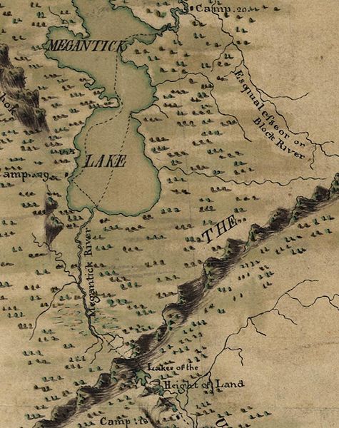
Description Extract from File:MontresorChaudiereMap1760.jpg, focused on the height of land between the Kennebec and Chaudière River watersheds.
Date
Source

Library of Congress American Memory
Durable URL: http://hdl.loc.gov/loc.gmd/g3730.ar083800
Call Number: G3730 1761 .M6 Vault

This map is available from the United States Library of Congress's Geography & Map Division
under the digital ID g3730.ar083800.
This tag does not indicate the copyright status of the attached work. A normal copyright tag is still required. See Commons:Licensing.

العربية  беларуская (тарашкевіца)  বাংলা  čeština  Deutsch  English  español  فارسی  suomi  français  galego  עברית  magyar  Bahasa Indonesia  italiano  日本語  lietuvių  македонски  മലയാളം  Nederlands  polski  português  português do Brasil  română  русский  sicilianu  slovenčina  slovenščina  Türkçe  українська  简体中文  繁體中文 

Author
John Montresor  (1736–1799)  wikidata:Q3182107
 
John Montresor
Alternative names

John Montrésor

John Montressor
Description British military engineer and cartographer
Date of birth/death 22 April 1736 / 6 April 1736 Edit this at Wikidata 22 June 1799
Location of birth/death Gibraltar Kent, England
Authority file
creator QS:P170,Q3182107
Permission
(Reusing this file)
Public domain
This work created by the United Kingdom Government is in the public domain.

This is because it is one of the following:

  1. It is a photograph taken prior to 1 June 1957; or
  2. It was published prior to 1974; or
  3. It is an artistic work other than a photograph or engraving (e.g. a painting) which was created prior to 1974.

HMSO has declared that the expiry of Crown Copyrights applies worldwide (ref: HMSO Email Reply)
More information.

See also Copyright and Crown copyright artistic works.

Deutsch  English  Español  français  italiano  Nederlands  polski  português  sicilianu  slovenščina  suomi  Türkçe  македонски  русский  українська  മലയാളം  한국어  日本語  简体中文  繁體中文  العربية 

Captions

Add a one-line explanation of what this file represents

Items portrayed in this file

depicts

inception

1760

File history

Click on a date/time to view the file as it appeared at that time.

Date/TimeThumbnailDimensionsUserComment
current17:15, 18 June 2010Thumbnail for version as of 17:15, 18 June 2010960 × 1,212 (370 KB)Magicpiano{{Information |Description=Extract from File:MontresorChaudieremap1760.jpg, focused on the w:height of land between the Kennebec and Chaudière River watersheds. |Source=Library of Congress American Memory<br> Durable URL: http://hdl.loc.gov/loc
The following pages on the English Wikipedia use this file (pages on other projects are not listed):

Global file usage

The following other wikis use this file:

Metadata