


Original file (1,518 × 1,030 pixels, file size: 504 KB, MIME type: image/jpeg)
Summary
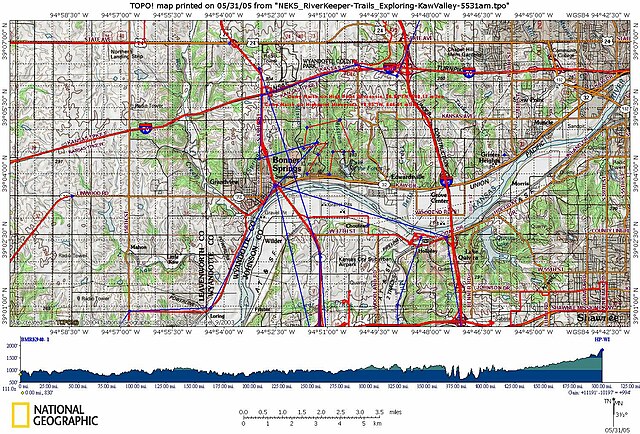
Supports Camp Theodore Naish RO/CS: Adopt-A-Habitat @ http://www.acctts.com/EcotrekUSA/index7.htm (Dead-Site)
MentorshipART by geoWIZard (June 4,2008) via http://FutureThought-mapXchange.blogspot.com
Summary2
Self-created by geoWIZard dba ACCTTS-LLC @ http://FutureThought.info
for "Pathfinder Passports"(cc) RO/CS
at http://geoventuring-lnt.blogspot.com/
RJBurkhart 23:47, 26 January 2006 (UTC)
Licensing
The National Map is an attempt to be the be-all end-all of online mapping services. The USGS has a Business Partners program through which these partners resell their maps so the public has quicker, easier access to information.
File history
Click on a date/time to view the file as it appeared at that time.
| Date/Time | Thumbnail | Dimensions | User | Comment | |
|---|---|---|---|---|---|
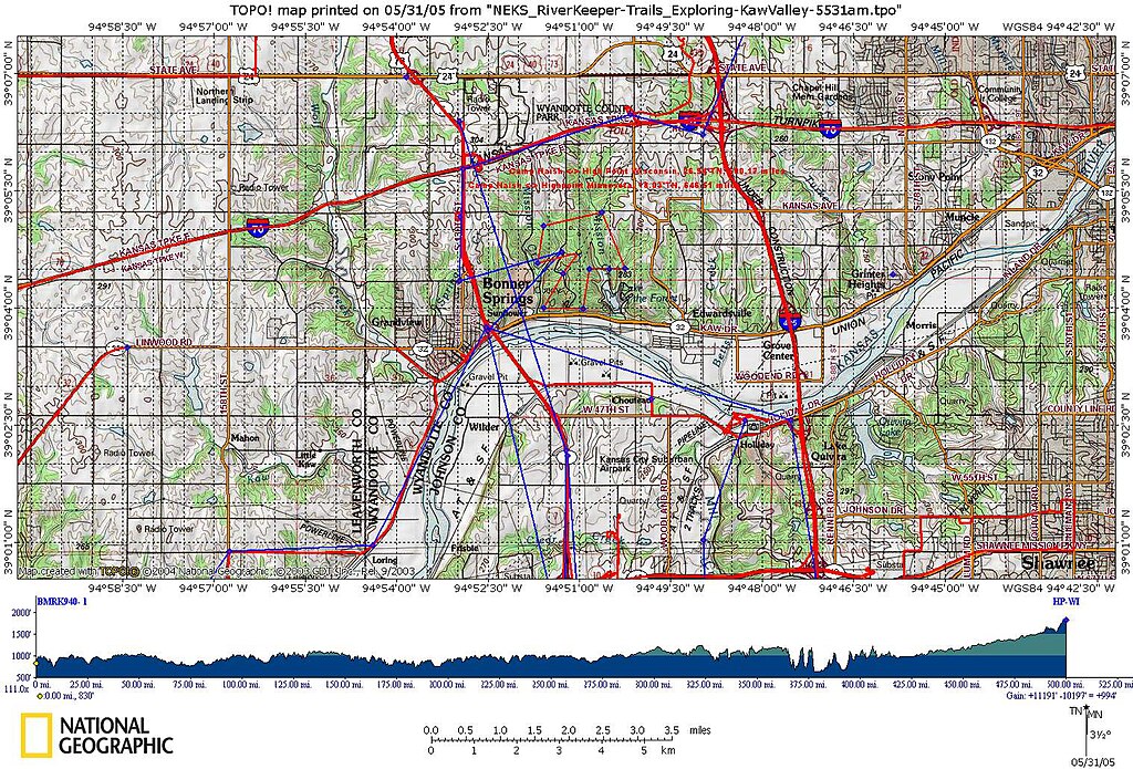
| current | 15:23, 10 January 2006 | | 1,518 × 1,030 (504 KB) | RJBurkhart (talk | contribs) | Supports Camp Theodore Naish RO/CS: Adopt-A-Habitat @ http://www.acctts.com/EcotrekUSA/index7.htm |
You cannot overwrite this file.