

Size of this preview: 800 × 600 pixels. Other resolutions: 320 × 240 pixels | 640 × 480 pixels | 1,024 × 768 pixels | 1,280 × 960 pixels | 2,592 × 1,944 pixels.
Original file (2,592 × 1,944 pixels, file size: 722 KB, MIME type: image/jpeg)
|
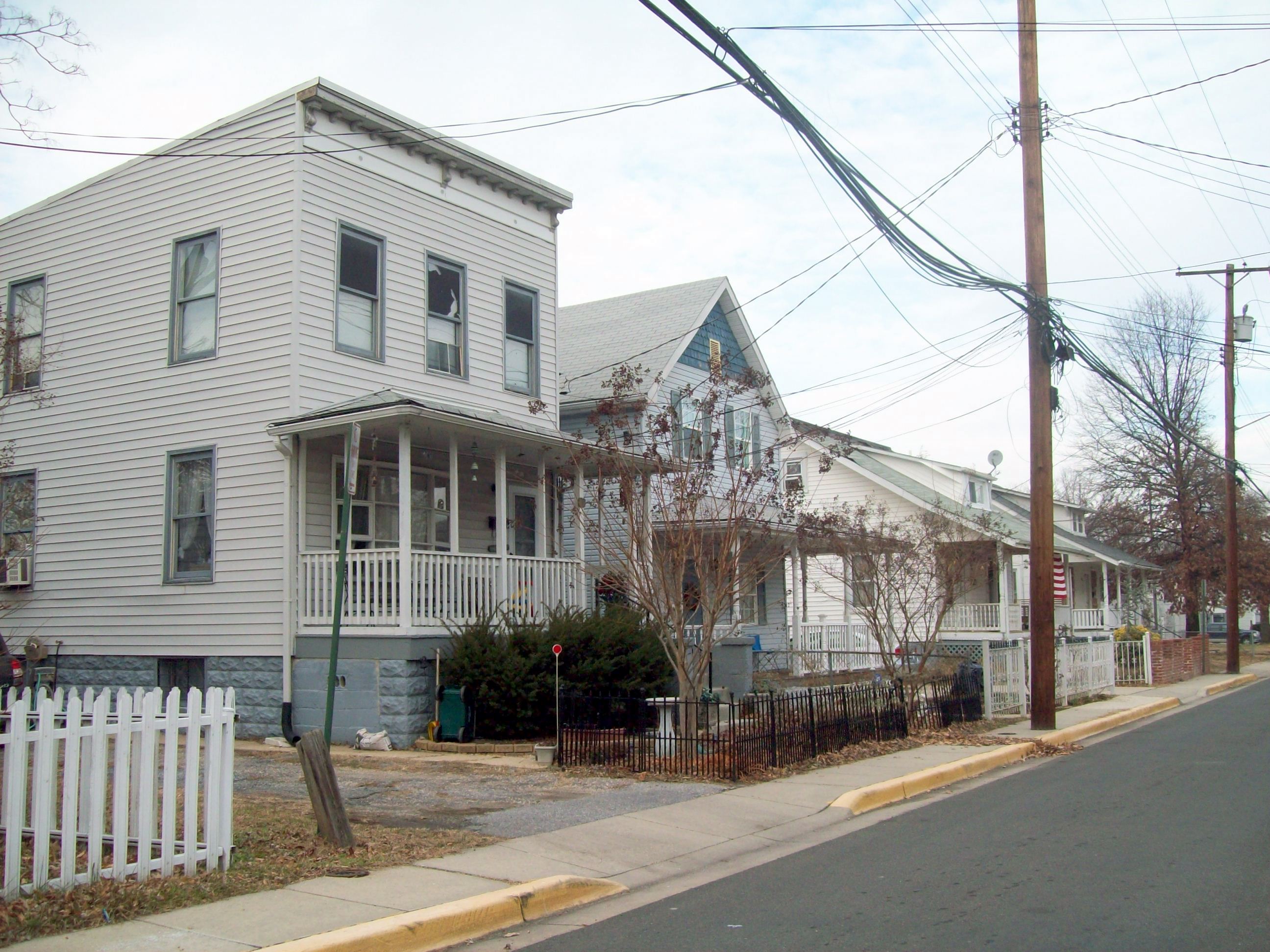
This is an image of a place or building that is listed on the National Register of Historic Places in the United States of America. Its reference number is 3001174. |
| Description |
English: North Brentwood Historic District, North Brentwood MD, December 2010 |
||
| Source | Own work | ||
| Author | Pubdog | ||
| Permission (Reusing this file) |
|
| Object location | | View this and other nearby images on: OpenStreetMap |
|---|
File history
Click on a date/time to view the file as it appeared at that time.
| Date/Time | Thumbnail | Dimensions | User | Comment | |
|---|---|---|---|---|---|
| current | 02:03, 31 December 2010 | | 2,592 × 1,944 (722 KB) | Pubdog | {{Information |Description={{en|1=North Brentwood Historic District, North Brentwood MD, December 2010}} |Source={{own}} |Author=Pubdog |Date= |Permission={{PD-self}} |other_versions= }} Category:Historic districts in Maryland |
File usage
The following pages on the English Wikipedia use this file (pages on other projects are not listed):
Global file usage
The following other wikis use this file:
- Usage on ar.wikipedia.org
- Usage on arz.wikipedia.org
- Usage on ca.wikipedia.org
- Usage on ceb.wikipedia.org
- Usage on ce.wikipedia.org
- Usage on cy.wikipedia.org
- Usage on es.wikipedia.org
- Usage on fr.wikipedia.org
- Usage on it.wikipedia.org
- Usage on ky.wikipedia.org
- Usage on lld.wikipedia.org
- Usage on pl.wikipedia.org
- Usage on pt.wikipedia.org
- Usage on sr.wikipedia.org
- Usage on tt.wikipedia.org
- Usage on uk.wikipedia.org
- Usage on uz.wikipedia.org
- Usage on www.wikidata.org