


Size of this preview: 800 × 252 pixels. Other resolutions: 320 × 101 pixels | 640 × 201 pixels | 1,024 × 322 pixels | 1,280 × 402 pixels | 2,560 × 805 pixels | 6,850 × 2,154 pixels.
Original file (6,850 × 2,154 pixels, file size: 3.43 MB, MIME type: image/jpeg)
Summary
| Description |
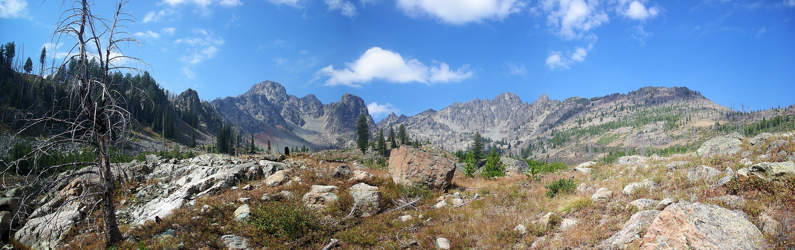
English: The Seven Devils Mountains looking from the east. Near Riggins, Idaho. (edited verison) |
| Date | 9/1/07 |
| Source | Own work |
| Author | Adumbvoget |
| Permission (Reusing this file) |
credit Adam Vogt |
| Camera location | | View this and other nearby images on: OpenStreetMap |
|---|
Licensing
This file is licensed under the Creative Commons Attribution 2.0 Generic license.
- You are free:
- to share – to copy, distribute and transmit the work
- to remix – to adapt the work
- Under the following conditions:
- attribution – You must give appropriate credit, provide a link to the license, and indicate if changes were made. You may do so in any reasonable manner, but not in any way that suggests the licensor endorses you or your use.
File history
Click on a date/time to view the file as it appeared at that time.
| Date/Time | Thumbnail | Dimensions | User | Comment | |
|---|---|---|---|---|---|
| current | 20:43, 24 January 2008 | 6,850 × 2,154 (3.43 MB) | Adumbvoget | == Summary == {{Information |Description=The Seven Devils Mountains looking from the east. Near Riggins, Idaho. (edited verison) |Source=self-made |Date=9/1/07 |Author= Adumbvoget |Permission=credit Adam Vogt |other_versions= }} {{loca |
File usage
The following pages on the English Wikipedia use this file (pages on other projects are not listed):