

Size of this preview: 800 × 532 pixels. Other resolutions: 320 × 213 pixels | 640 × 426 pixels | 1,024 × 681 pixels | 1,280 × 851 pixels | 2,560 × 1,702 pixels | 6,016 × 4,000 pixels.
Original file (6,016 × 4,000 pixels, file size: 5.35 MB, MIME type: image/jpeg)
|
This is an image of a place or building that is listed on the National Register of Historic Places in the United States of America. Its reference number is 79000816. |
| Camera location | | View this and other nearby images on: OpenStreetMap |
|---|
| Object location | | View this and other nearby images on: OpenStreetMap |
|---|
| Description |
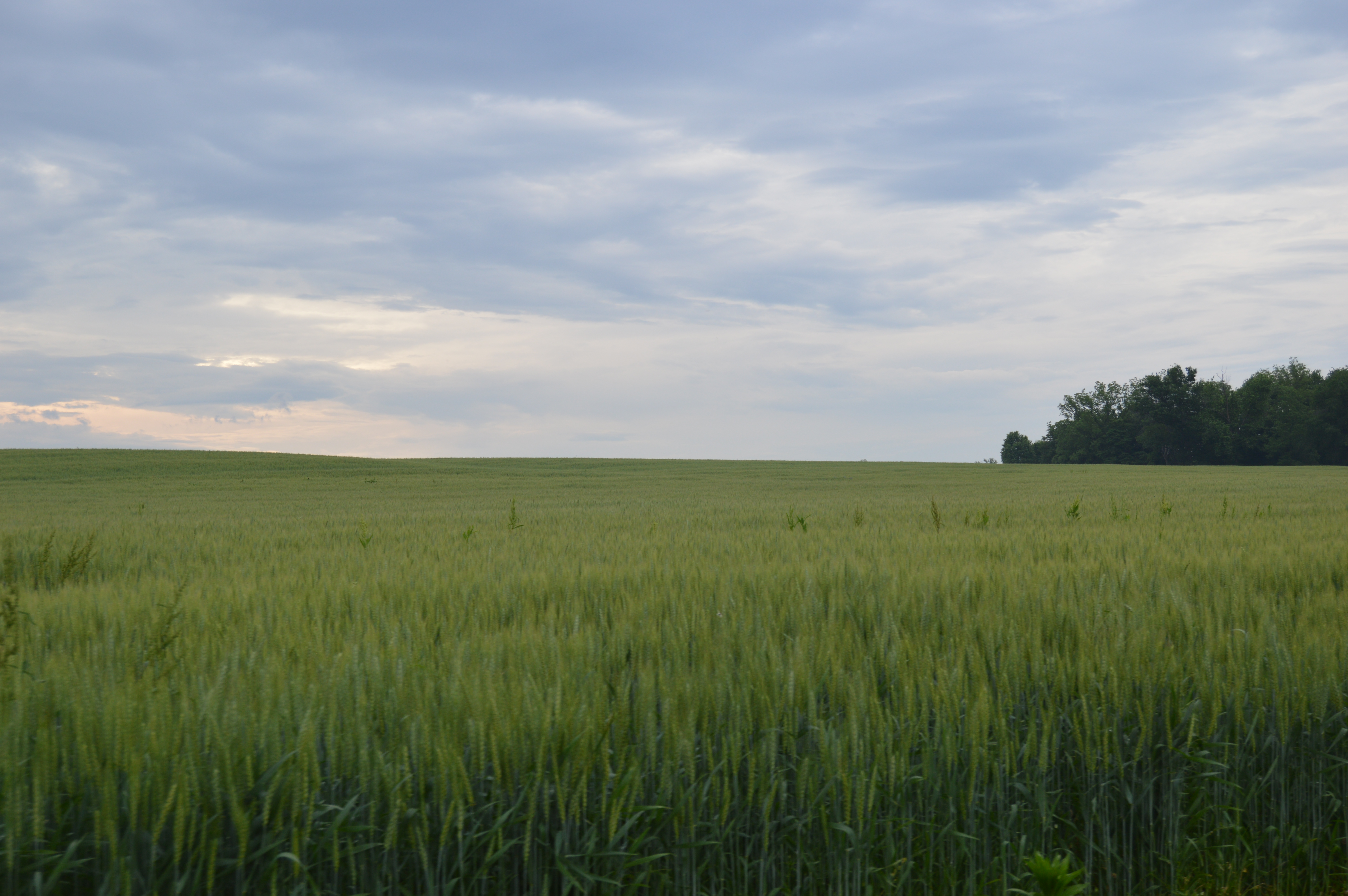
English: Fields at the Toppmeyer Site, located on the western side of Quarry Road southeast of Brussels in Point Precinct, Calhoun County, Illinois, United States. As an important archaeological site, it is listed on the National Register of Historic Places along with the adjacent Golden Eagle earthwork site. |
||
| Date | Taken on 26 May 2014 | ||
| Source | Own work | ||
| Author | Nyttend | ||
| Permission (Reusing this file) |
|
File history
Click on a date/time to view the file as it appeared at that time.
| Date/Time | Thumbnail | Dimensions | User | Comment | |
|---|---|---|---|---|---|
| current | 16:21, 4 June 2014 | | 6,016 × 4,000 (5.35 MB) | Nyttend | {{NRHP|79000816}} {{Location|38|54|45|N|90|31|4|W}} {{Object location|38|54|47|N|90|31|8|W}} {{Information |Description={{en|Fields at the {{w|Golden Eagle-Toppmeyer Site|Toppmeyer Site}}, located on the western side of Quarry Road southeast of {{w|Bru... |
File usage
The following pages on the English Wikipedia use this file (pages on other projects are not listed):
Global file usage
The following other wikis use this file:
- Usage on de.wikipedia.org
- Usage on es.wikipedia.org
- Usage on fr.wikipedia.org
- Usage on www.wikidata.org
- Usage on zh.wikipedia.org